What is recorded here
Fairy fort / earthen ringfort in Sreenty: A circular earthwork in County Monaghan, Ireland, sits at the S edge of a rise on an E-W drumlin ridge. The 1858 map showed it, but grass and time have hidden the ridge from human eyes. Local story calls it a fairy fort, suggesting the boundary between worlds thins where measurement fails.
Situated at the S edge of a rise at the centre of an E-W drumlin ridge. A circular earthwork is depicted here only on a revision of the 1834 edition of the OS 6-inch map dated 1858. No archaeological feature is visible at ground level in pasture.
The above description is derived from the published 'Archaeological Inventory of County Monaghan' (Dublin: Stationery Office, 1986). In certain instances the entries have been revised and updated in the light of recent research.
Revised by: Michael Moore
Date of revision: 1 February 2013
The monument record does not grant public access. Check the route and ask the landowner before entering private land.
- What survives
- Recorded monument
Places near here
 Man-made underground passage in OuvryMan-made underground passage · 1134 yd
 Enclosure in CorrinentyEnclosure · 1.2 mi
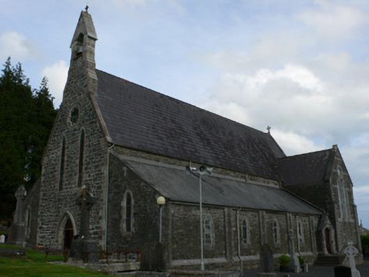 Saint Michael's Catholic Churchchurch/chapel · 1.4 mi
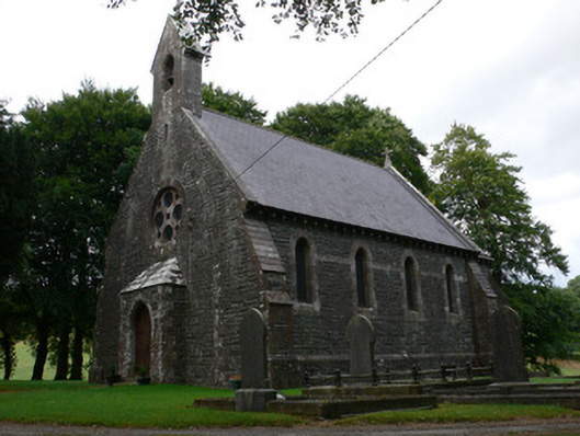 Saint Patrick's Church (Magheross)church/chapel · 1.5 mi
 Tally WoodWood · 2.1 mi
 RaferaghMountain / peak · 2.3 mi
 Sillan LakeshoreWood · 2.4 mi
 CarrickcreenyMountain / peak · 2.5 mi
 Bawn in LisdrumskeaBawn · 2.5 mi
 Bush IslandIslet · 2.6 mi
 Gull IslandIslet · 2.6 mi
 Senator Billy Fox 1939 - 1974Memorial · 4.0 mi