What is recorded here
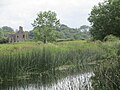
The long linear ditch runs north-south beside the tower house, wearing the ordinary shape of a field drain while holding the hidden weight of an outer defence. Water still moves through it, but the depth and direction suggest human hands shaped the earth long before modern farms claimed the ground. The boundary between utility and history blunts in that quiet trench, inviting wonder rather than certainty.
Non-archaeological, the remains of a drain. Although described as a field drain its representation on the OS 6-inch map suggests that this is an archaeological feature, possibly part of the outer defences to the W of the castle. Long linear ditch running N-S to the W of the tower house (LA010-006001-).
Compiled by: Caimin O'Brien
Date of upload: 17 December 2007
The monument record does not grant public access. Check the route and ask the landowner before entering private land.
- What survives
- Recorded monument
Places near here
 IndicatedBawn · 117 yd
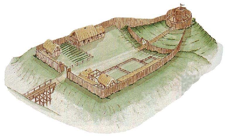 CastleCastle, motte and bailey · 414 yd
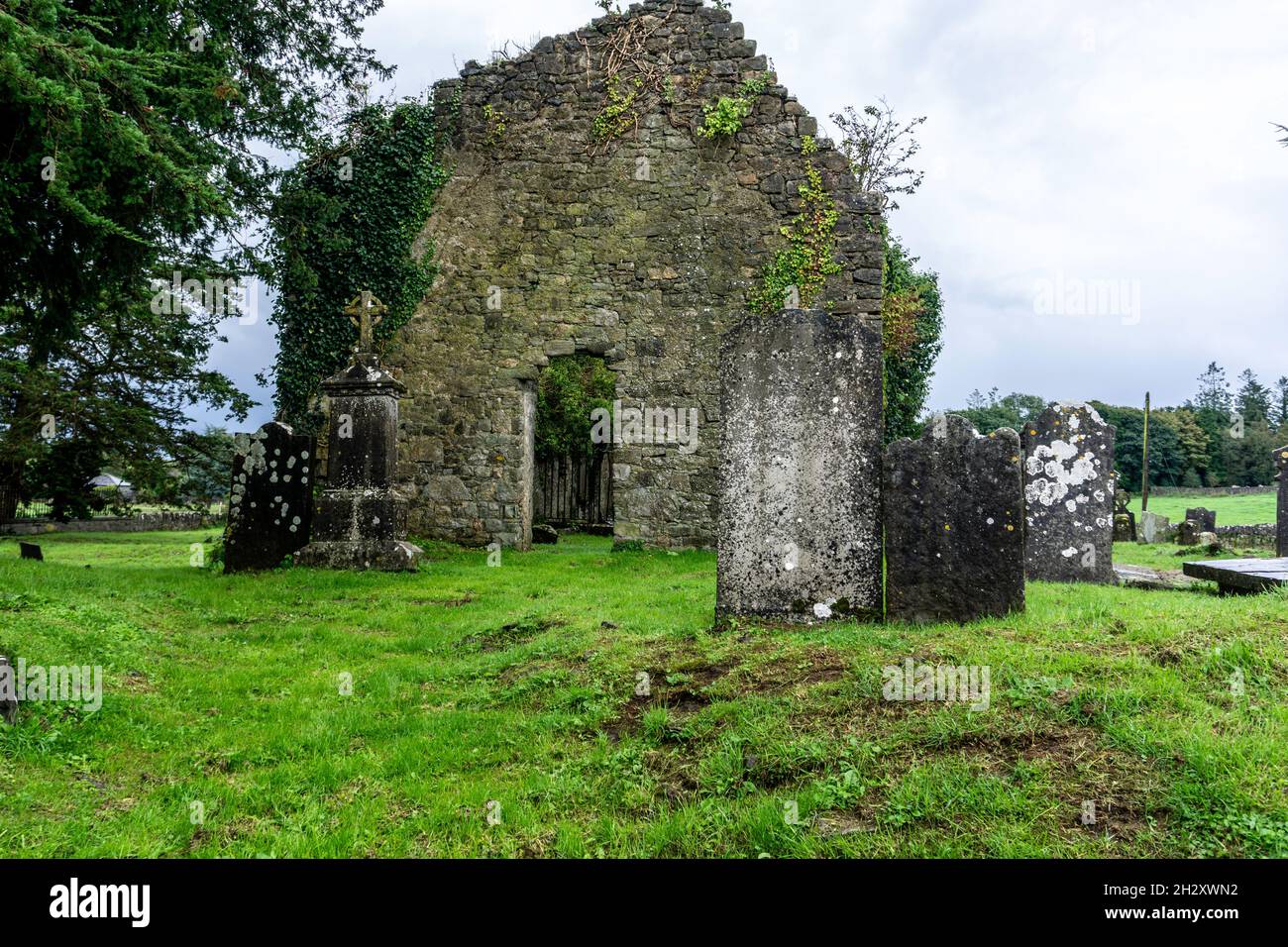 Ecclesiastical enclosure in SrahanboyEcclesiastical enclosure · 669 yd
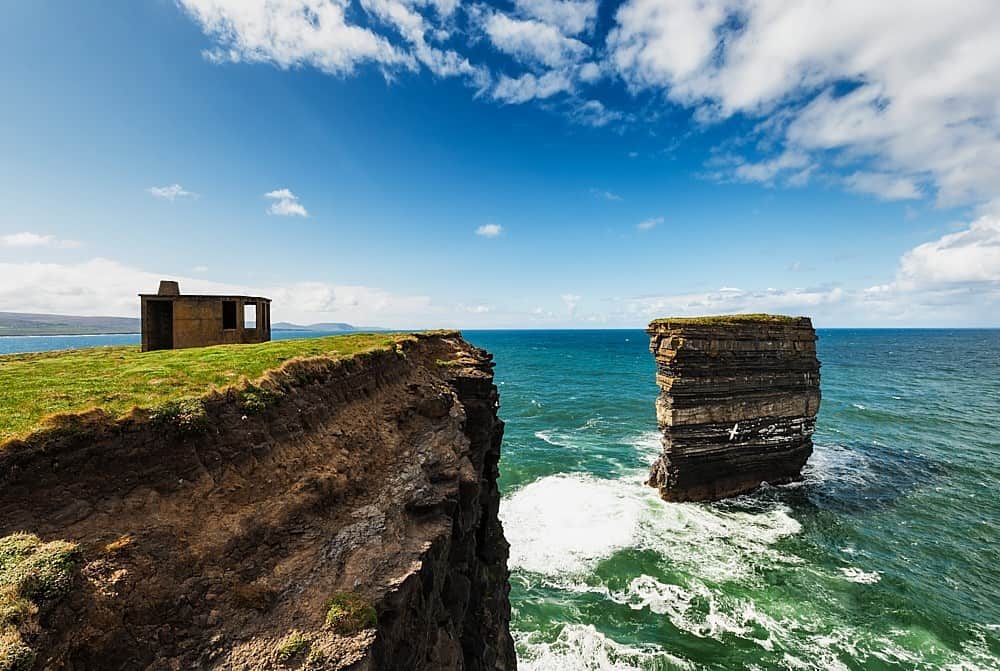 Enclosure in DerrinduffEnclosure · 1.3 mi
 ArderinMountain / peak · 1.7 mi
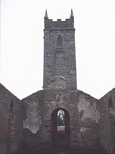 Saint Kevin's Catholic Churchchurch/chapel · 1.9 mi
 FarbreagueMountain / peak · 2.8 mi
 Partially indicatedRoad, road/trackway · 4.0 mi
 Sitka SpruceSitka Spruce · 4.8 mi
 Kinnitty ForestForest · 4.8 mi
 Welcom to GlenreganVisitor information · 4.9 mi
 Saint Kieran's WellSpring · 5.5 mi