
What is recorded here
Indicated is a fairy fort in County Mayo, a rough circular stone bank half-swallowed by hawthorn, brambles and nettles beside the Owenlobnaglaur river. People may have lived there before forgetting what the stones were for, while locals still call it a place set apart for fairy action. The dense growth does not hide the fort so much as suggest that it stopped wanting to be measured.
In pasture, located 200m SW of the Owenlobnaglaur river, in an area of mixed grassland and bog.
Roughly circular area (diam. c. 25m NE−SW) defined by a stone bank/wall (Wth 2-2.4m; int. H 0.5m; ext. H 0.8m at SE). Dense overgrowth hampered inspection of the stone bank. It is evident in parts as a jumble of stones and boulders; at W it consists of a stony scarp (ext. H c. 0.8m). The rath is bisected centrally by a field wall on a NE−SW axis, and another wall on a N−S axis abuts it at NNW. Dense cover of hawthorn, elder, brambles and nettles, with stones and boulders scattered across the interior.
Compiled by: Jane O'Shaughnessy
Date of upload: 6 July 2020
The monument record does not grant public access. Check the route and ask the landowner before entering private land.
- What survives
- Recorded monument
Places near here
 Old Cave Burial GroundArchaeological place · 969 yd
 Man-made underground passage in Calveagh LowerMan-made underground passage · 1.4 mi
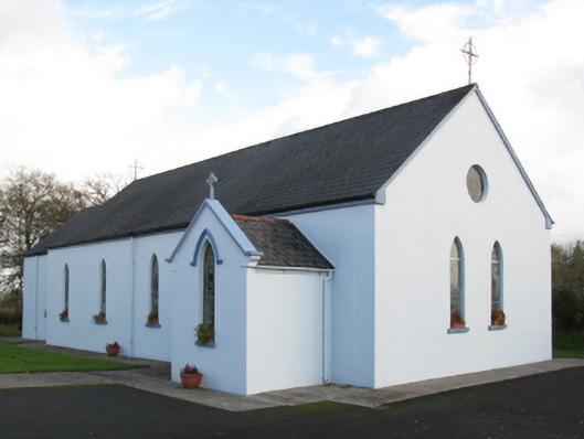 Saint Joseph's Catholic Churchchurch/chapel · 1.6 mi
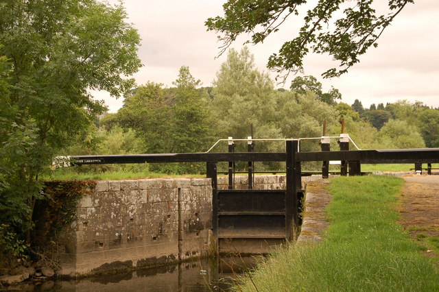 Embanked enclosureFairy fort / stone ringfort · 1.7 mi
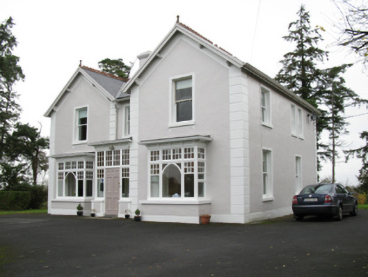 presbytery/parochial/curate's housepresbytery/parochial/curate's house · 2.0 mi
 Bockagh HillMountain / peak · 4.3 mi
 CastleCastle, unclassified · 4.9 mi
 Ballyara Castle (in Ruins)Castle, unclassified · 5.9 mi
 Crow IslandIslet · 9.7 mi
 Castle PointHeadland · 10 mi
 Rose PointHeadland · 10 mi
 East Mayo Brigade MonumentMemorial · 11 mi
Other information
Photo: Credit not shown in the picture search · Rights wording not checked; contact us if this picture should be removed