
What is recorded here
Indicated (1846) was a ringfort on a Kerry ridge where a central underground passage cut through the earth. The passage is gone, infilled and hidden beneath dense vegetation, but the ridge still offers a clear view in every direction. The loss is not empty; it is a reminder that human hands shaped the land before memory faded.
A circular enclosure with a centrally located Man-made underground passage is marked at this location on the first edition of the OS map. Only the 'Cave' is indicated on the second edition. The site was located on the crest of a low ridge which provides an excellent outlook in all directions. No surface trace of the enclosure is now apparent, and the Man-made underground passage (KE098-006001-) has been infilled (local information). The site is marked by a deposit of field clearance material and dense vegetation.
The above description is derived from A. O'Sullivan and J. Sheehan (compilers), 'The Iveragh peninsula: an archaeological survey of South Kerry'. Cork University Press (1996), no. 694. In certain instances the entries have been revised and updated in the light of recent research.
Date of upload: 29 July 2013
The monument record does not grant public access. Check the route and ask the landowner before entering private land.
- What survives
- Recorded monument
Places near here
 SheepfoldHut site · 990 yd
 Iveragh Lodgehunting/fishing lodge · 1059 yd
 Fulacht fia in An Bhinn Bhán (uíbh Ráthach)Fulacht fia · 1116 yd
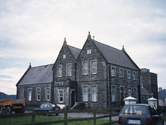 The Cable Stationcoastguard station · 1224 yd
 Butler MemorialMemorial · 1651 yd
 T. C. Millerick MemorialMemorial · 1.1 mi
 Waterville PromenadeWalking route · 1.2 mi
 Inny StrandBeach / strand · 1.5 mi
 CastleCastle, tower house · 1.7 mi
 Reenrow BeachBeach / strand · 2.3 mi
 Emlagh LoopWalking route · 2.4 mi
 Bá na ScealgBay · 3.0 mi
Other information
Photo: Credit not shown in the picture search · Rights wording not checked; contact us if this picture should be removed