What is recorded here
Indicated is a fairy fort in County Longford where a earthen bank still curves through brambles while the southern half has vanished into rough grass and willows. The remaining ridge serves as a field boundary, its sharp outer face dropping into a ditch that carries rainwater away like an old vein. People may have lived inside the oval before forgetting it, or perhaps the land simply kept a shape it understood but never named.
In level damp pasture, bordered at the E and S by a forestry plantation of spruce and larch. A clearing in the plantation now encloses the S half of the rath. Depicted on the OS 25-inch plan (surveyed 1911) as a roughly oval area (c. 43m E–W; c. 31m N–S) incorporated into later field fences at W, NE and E. An inspection in 2012 found that an earthen bank curving from W–N–E is extant on the N half of the rath but the bank on the S half has been levelled. The surviving bank (Wth 3-3.5m; int. H 0.4m; ext. H 1.8-2m at NE) has been modified to serve as a field boundary and is engulfed in dense overgrowth of brambles and elder scrub. Its internal slope appears to be low and broadly slumped. Externally it has a pronounced, almost vertical face, which drops into a sharply cut ditch (Wth 1.6-2m; ext. H 0.6-0.8m). The ditch serves as a field drain, continuing beyond the rath to the W and SE. It is not clear if it has cut through a pre-existing fosse. The interior of the rath is level and appears to be slightly raised above the external ground level. The N half is covered in impenetrable brambles, the S half in rough grass and a cluster of willows. A greater density of rushes marks the outer edge of the rath along its S half, where no trace of a bank or fosse is evident.
Compiled by: Jane O’Shaughnessy
Date of upload: 17 January 2013
The monument record does not grant public access. Check the route and ask the landowner before entering private land.
- What survives
- Recorded monument
Places near here
 Enclosure in SpringtownEnclosure · 621 yd
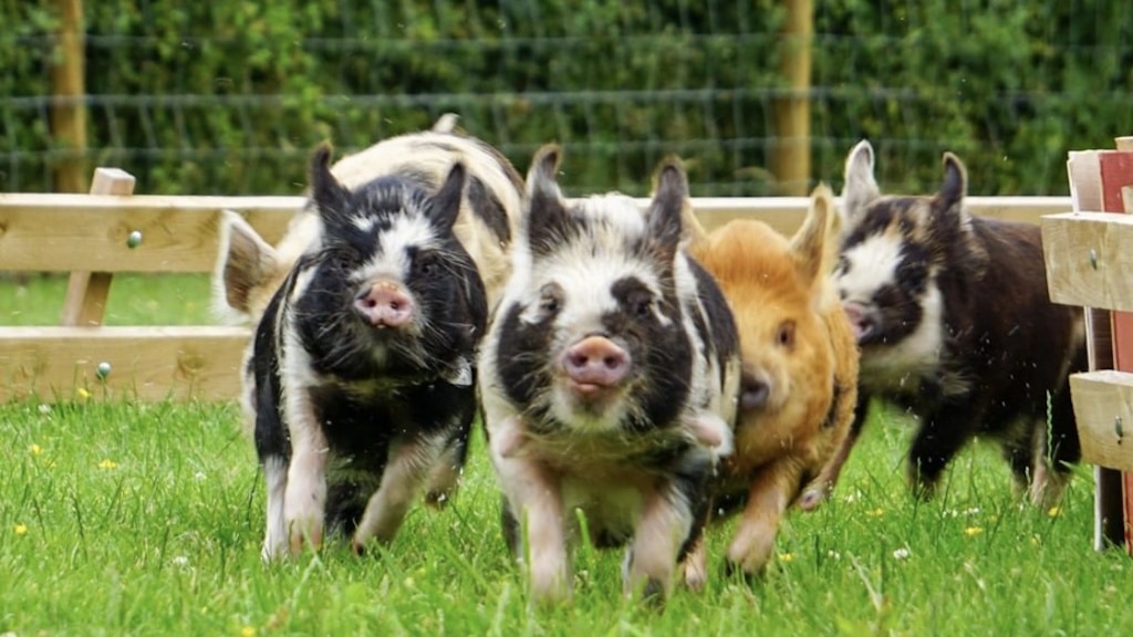 Dunclá or Black Pigs RaceArchaeological place · 867 yd
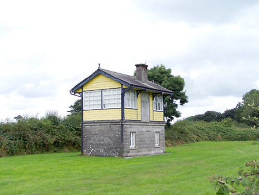 Ballywillin Railway Stationsignal box · 1124 yd
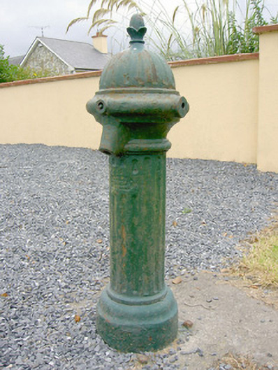 water pumpwater pump · 1625 yd
 CarrickabaneMountain / peak · 1.8 mi
 CarrickMountain / peak · 2.0 mi
 Watty's RocksIslet · 2.4 mi
 Carrick RockWood · 2.4 mi
 Bakers FortCastle, ringwork · 2.5 mi
 Moynagh Upper ForestForest · 2.5 mi
 Sporting RockIslet · 2.6 mi
 1798 Monumentmonument · 2.7 mi