What is recorded here
On level, poorly drained pasture. A raised circular area (diam. 33.5m) enclosed from NNE-NE-ENE by a levelled bank of earth and stone (Wth 7m; H 0.2m) and elsewhere defined by a scarp (H 0.5-0.7m). At the base of the scarp at NW is a shallow fosse (Wth 4.5m; D 0.15m). From WSW-W-NW the scarp has been modified and incorporated into a NNW-SSE field boundary. The original entrance is not recognisable.
Compiled by: Patrick F. O'Donovan
Date of upload: 18 January 2012
The monument record does not grant public access. Check the route and ask the landowner before entering private land.
- What survives
- Recorded monument
Places near here
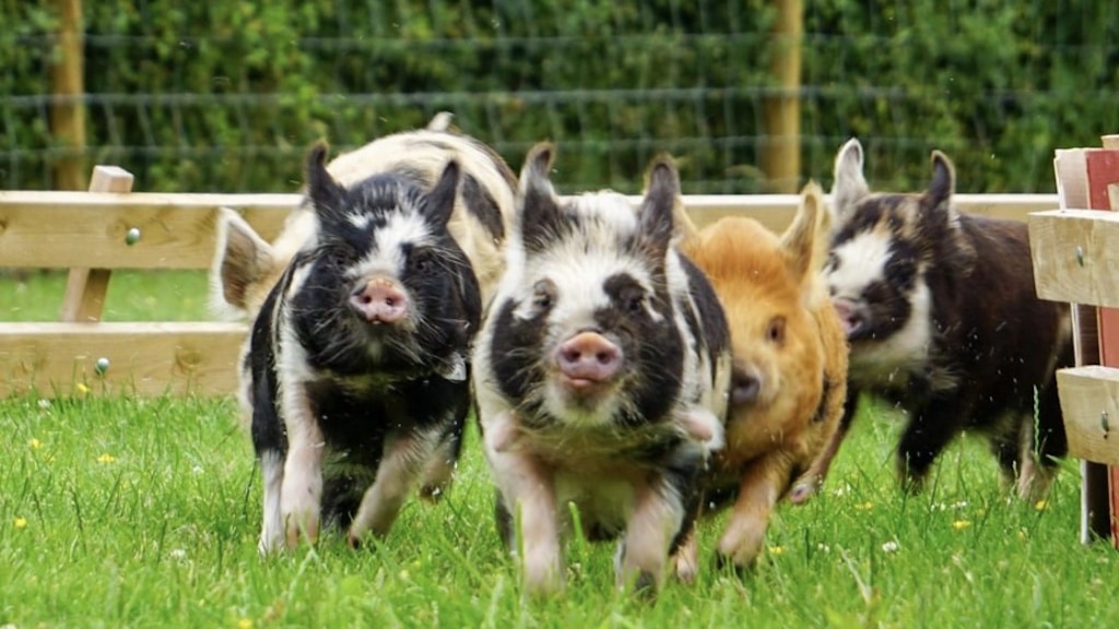 Dunclá or Black Pigs RaceArchaeological place · 593 yd
 Enclosure in SpringtownEnclosure · 721 yd
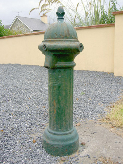 water pumpwater pump · 1365 yd
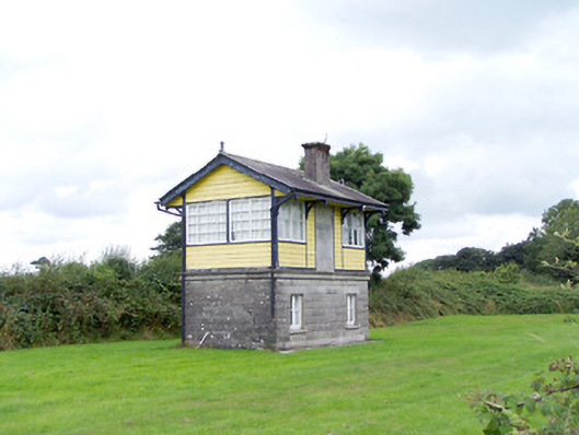 Ballywillin Railway Stationsignal box · 1399 yd
 CarrickabaneMountain / peak · 2.0 mi
 CarrickMountain / peak · 2.2 mi
 Bakers FortCastle, ringwork · 2.3 mi
 Watty's RocksIslet · 2.6 mi
 1798 Monumentmonument · 2.6 mi
 Carrick RockWood · 2.6 mi
 Granard MotteMotte-and-bailey castle remains · 2.7 mi
 Moynagh Upper ForestForest · 2.7 mi