What is recorded here
Barrow is a barrow (bowl-barrow) in Southhill, County Westmeath, Ireland. This flat-topped, steep-sided mound of earth and stone sits on the north face of a low north-south gravel ridge, with a top diameter of 9 metres on a north-northwest to south-southeast axis and 12 metres on a northeast to southwest axis. It is enclosed by a shallow fosse and external bank, both of which have been levelled at the north and west, while a low causeway crosses the fosse at the south. The monument’s classification remains uncertain, as it has been suggested that the mound could represent the remains of a small Anglo-Norman motte castle.
Situated on N face of a low gravel ridge which runs N-S, with extensive views. The road which marks the boundary with Mitchelstown townland lies 20m to NE. A flat-topped, steep sided mound of earth and stone (top diam. 9m NW-SE; 12m NE-SW) enclosed by a shallow fosse and external bank. The bank and fosse have been levelled at N and W. There is a low causeway across the fosse at S. Classification of this monument is uncertain and it has been suggested that the mound could represent the remains of a small Anglo-Norman motte castle (ASI Report 22/02/1980).
Compiled by: Frank Coyne and Caimin O'Brien
Date of upload: 27 August 2018
Bowl barrow, likely dating to the Early Bronze Age. Its location on a prominent ridge suggests it was a significant funerary and ceremonial feature in the landscape.
The monument record does not grant public access. Check the route and ask the landowner before entering private land.
- What survives
- Recorded monument
Places near here
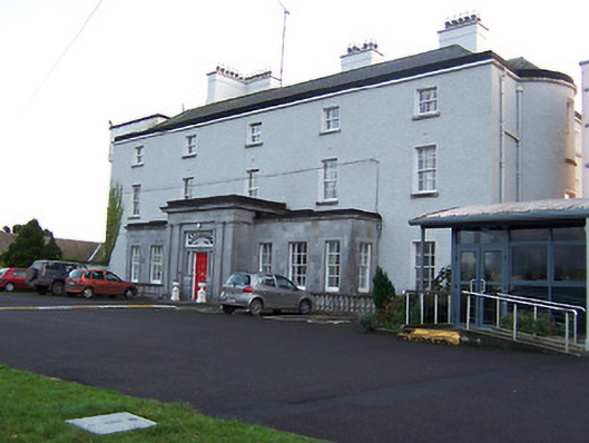 South Hillcountry house, house · 290 yd
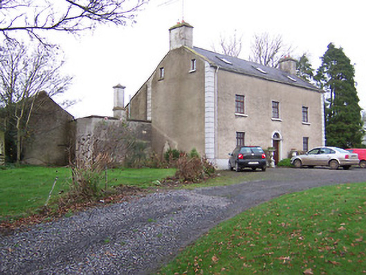 Clonmaskill Househouse · 847 yd
 OutlinedFairy fort / earthen ringfort · 892 yd
 Man-made underground passage in CastletowndelvinMan-made underground passage · 1622 yd
 IndicatedCastle, motte · 1.1 mi
 CastleCastle, tower house · 1.1 mi
 European YewEuropean Yew · 2.4 mi
 Persian WalnutPersian Walnut · 2.5 mi
 Drewstown LittleMountain / peak · 5.5 mi
 The Sloe HillMountain / peak · 5.7 mi
 Zip WireHeritage attraction · 9.1 mi
 LoughcrewMegalithic tomb cemetery · 9.4 mi