What is recorded here
The site is located in a clearing in Slievethoul Woods on the summit of Saggart Hill. A passage tomb comprises of a large circular, round-topped, chambered cairn (diam.22m; H 2.75m). There is a central hollow where cairn material has been robbed. The chamber extends E-W. There are four orthostats in position. The site is too overgrown to identify kerbstones but Herity (1974, 256) describes a single granite boulder visible near the base at N edge of a cairn (Healy 1975, 1-19). It lies c. 300m WNW of passage tomb (DU024-035----)
Compiled by: Geraldine Stout and Padraig Clancy
Revised upload on: 7 July 2018
This monument is subject to a preservation order made under the National Monuments Acts 1930 to 2014 (PO no. 153/1940).
Neolithic passage tomb, dating to approximately 3500–2500 BCE. Its location on the summit of Saggart Hill suggests it was a significant ceremonial or communal site in the prehistoric landscape.
The monument record does not grant public access. Check the route and ask the landowner before entering private land.
- What survives
- Recorded monument
Places near here
 Saggart HillMountain / peak · 8 yd
 CarnPassage tomb · 221 yd
 IndicatedBarrow, ring-barrow · 873 yd
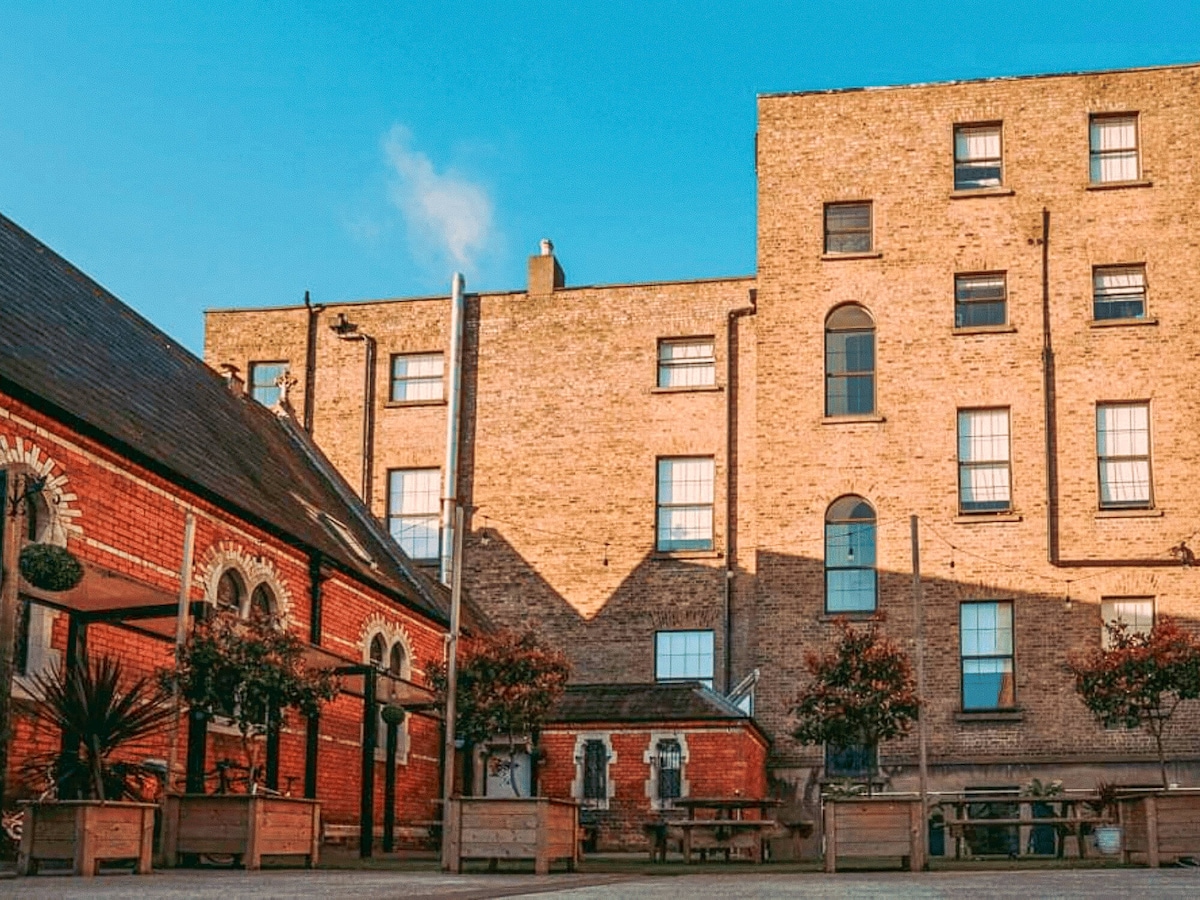 Chapel fieldReligious house, unclassified · 1360 yd
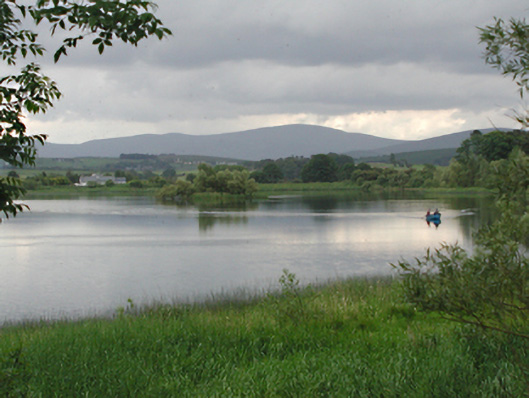 Glenaraneen Mill Pondsdam/reservoir/basin · 1654 yd
 Cupidstown HillMountain / peak · 1.6 mi
 Rathcoole WoodlandWood · 2.2 mi
 Kilteel WoodWood · 2.3 mi
 Inniscara GalleryGallery · 2.4 mi
 Colmanstown Castle (in ruins)Castle, tower house · 2.5 mi
 Meadow WildlifeVisitor information · 2.7 mi
 Saint Finian's WellSpring · 3.8 mi