What is recorded here
Half-swallowed by heather on a steep Achill slope, the trapezoidal stone structure still shows a broad southern façade, a possible double western wall and a narrow chamber at its northern end. A smaller D-shaped hut sits beside it, perhaps built later with stones taken from the older work. The purpose and age of the larger structure remain unknown, but its shape suggests deliberate assembly rather than a casual pile.
In rough, heather-covered upland bog, located on the lower SW-facing slope of a high ridge in NW of Achill Island. Ground rises steeply to NE, and falls away gradually to SE, levelling out to an area of worked bog.
This structure (L 7.5m; H 0.3-0.6m) consists of a low, trapezoidal cairn of stones, which narrows from a broad façade (Wth 5.3m) at the S end, to a markedly narrow N end (1.5m). It is engulfed in heather, sod and clumps of sedge, which make it difficult to interpret the remains and their relationship to a hut site (MA042-048002-), which stands immediately adjacent at SW.
The broad, low S façade is defined by drystone walling (H 0.6m), rising in two to three courses, and also incorporates at least one upright stone (L 1.1m; T 0.1m; H 0.5m). The W side is defined by what may be a double wall construction, with an outer wall of contiguous, upright stones/boulders (largest measures: L0.9m; T 0.1-0.15m; H 0.7m) facing an inner wall of drystone construction and/or uprights. At the narrow N end, a single upright end stone and two side stones (H c. 0.3m) appear to enclose a small chamber or box-like setting (c. 1.5m E−W; c. 0.9m N−S). Stones can be felt beneath the heather on the E side, but upstanding walling is not evident, except at the junction with the S wall. In the interior area, amidst a low jumble of heather-covered stones, there is a hint of a roughly central, narrow ‘passage’ or break extending N−S, with a prostrate slab partly overlying the S end. Appended to the SW corner of the structure is a D-shaped hut site (MA042-048002-) (c. 3m N−S; c. 3m E−W) of rough drystone construction, with a narrow entrance gap on the E side. The hut appears to post-date the trapezoidal structure, and may have been built with stones robbed from it. It is unclear to what extent the walling on the S and W sides of the structure has been modified by the builders of the hut, and to what purpose. The nature, function and date of this structure remain enigmatic.
Images:
MA042-048001_01.jpg: Structure viewed from SE, with hut site (MA042-048002-) at Left
MA042-048001_02.jpg: N end of structure and walling on W side, viewed from NW
Compiled by: Jane O'Shaughnessy
Date of upload: 24 July 2017
The monument record does not grant public access. Check the route and ask the landowner before entering private land.
- What survives
- Recorded monument
Places near here
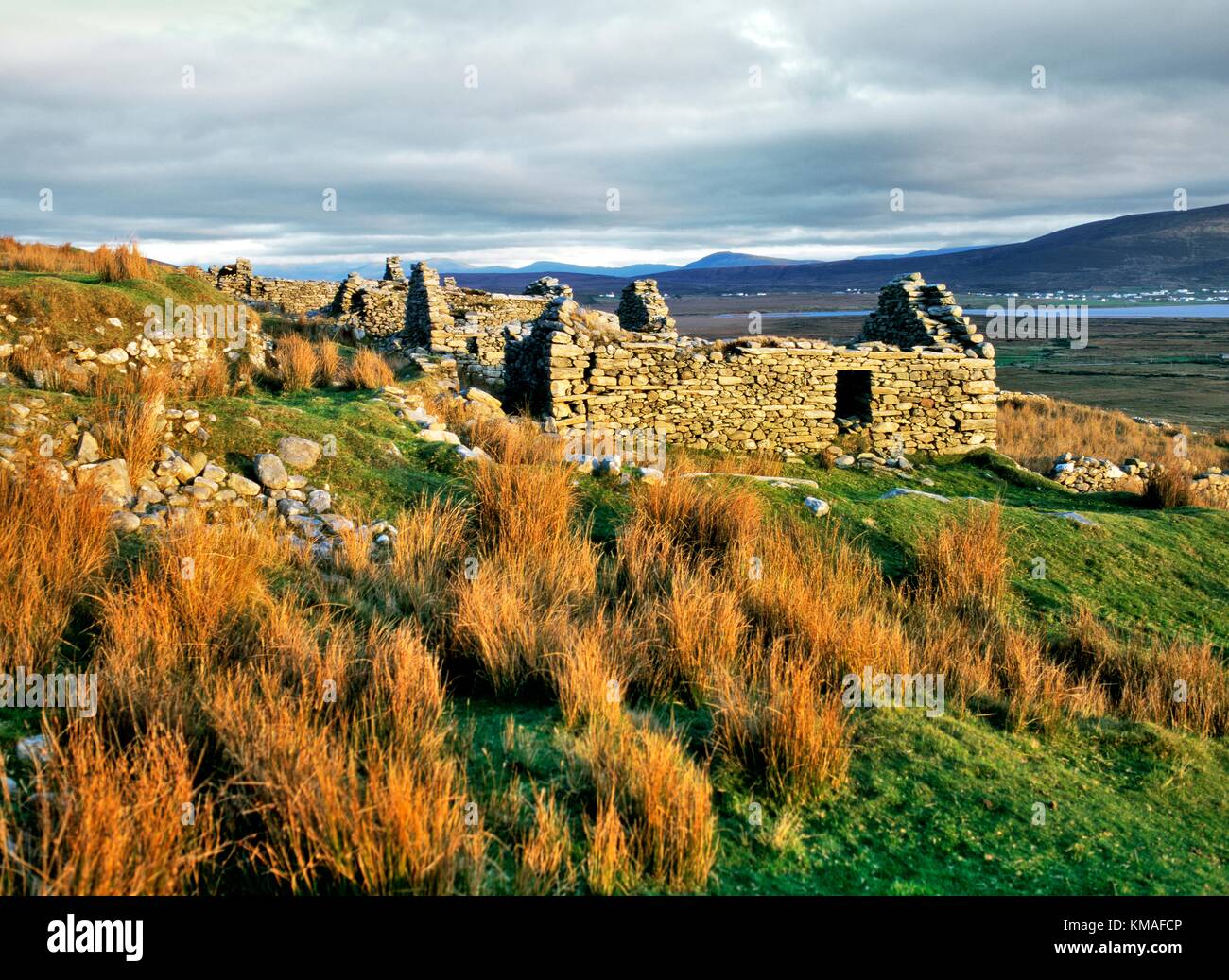 Enclosure in SlievemoreEnclosure · 198 yd
 Annagh StrandBeach / strand · 1372 yd
 Achill Folklife CentreMuseum · 1685 yd
 Don AllumMonument · 1700 yd
 Saddle Hill Signal Towersignal tower · 1713 yd
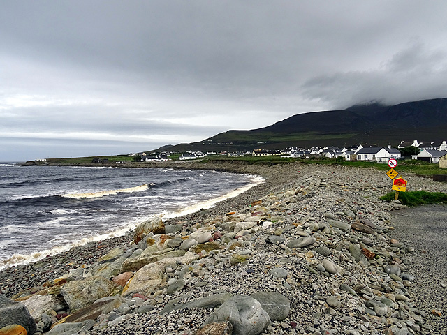 Dooagh StrandBeach / strand · 1.0 mi
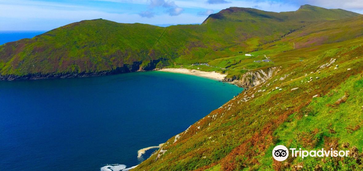 Gubnahinneora PointHeadland · 1.5 mi
 Convent of the Sacred Heartconvent/nunnery · 1.6 mi
 Ronan Halpin GalleryGallery · 1.7 mi
 GubnahooeycamHeadland · 2.0 mi
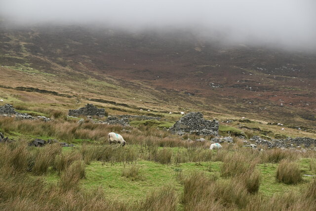 The Deserted Village at SlievemoreVisitor information · 2.2 mi
 InishgalloonIslet · 2.4 mi