What is recorded here
Fairy fort in Sleehaun, County Longford: a vanished ringfort, marked 'Fort' in 1837, reduced to a shallow oval scar on a SE-facing pasture slope. People may have lived there, raised children, lost lovers, fed flames and forgotten the place before ploughs and feet smoothed it into grass. The fairies keep what humans stopped seeing.
On a SE-facing slope in pasture. Depicted as a circular enclosure with the designation 'Fort' on the 1837 ed. of the OS 6-inch map. A report in 1976 (SMR file) indicates that this rath was enclosed by a low bank of earth and stone and an external fosse. It is largely levelled. Extant remains comprise a raised oval area (c. 37m NW-SE; c. 32m NE-SW) defined by a low scarp (H 0.1-0.2m). From SW-W-WNW it is truncated by a NW-SE field boundary. The original entrance is not recognisable.
Compiled by: Patrick F. O'Donovan
Date of upload: 26 August 2011
The monument record does not grant public access. Check the route and ask the landowner before entering private land.
- What survives
- Recorded monument
Places near here
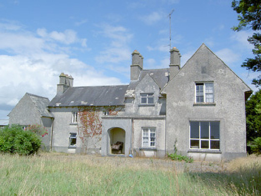 Sleehaun Househouse · 363 yd
 Ecclesiastical enclosure in Killeen (ardagh By.)Ecclesiastical enclosure · 1163 yd
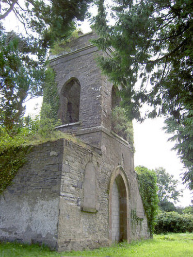 Saint Anne's Church (Kilglass)church/chapel · 1216 yd
 G. Yd.Graveyard · 1.1 mi
 Pedunculate OakPedunculate Oak · 1.2 mi
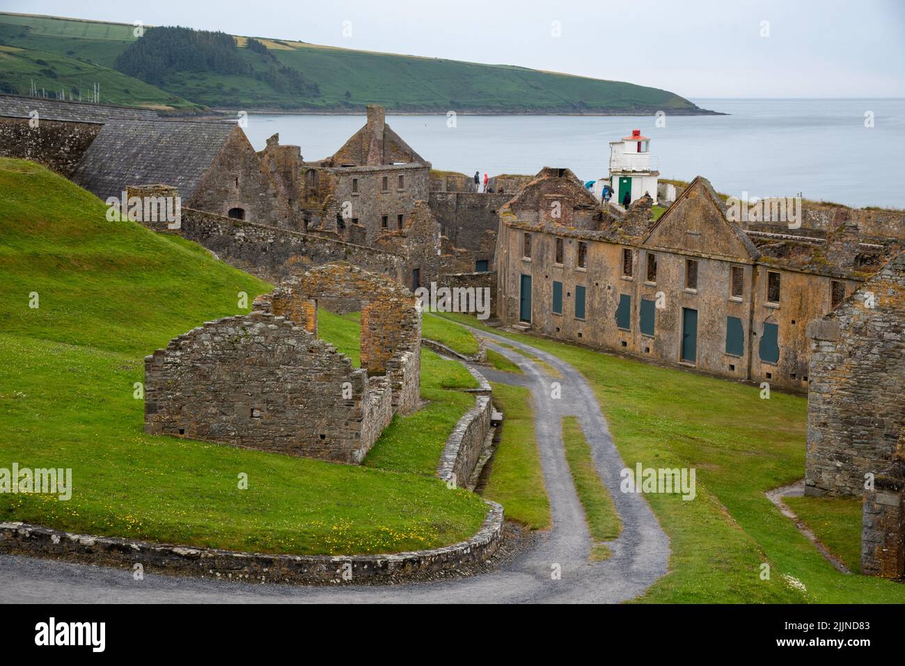 Fort, MoataphucaCastle, motte · 1.3 mi
 Common AlderCommon Alder · 1.7 mi
 MoatCastle, motte · 2.0 mi
 Edgeworthstown BypassMemorial · 3.7 mi
 Abbeyshrule AbbeyRuins · 4.3 mi
 Goldsmith Birthplace, PallasVisitor information · 5.8 mi
 Newcastle WoodsForest · 6.2 mi