What is recorded here
Fairy fort in Sleehaun, County Longford: a low earthen ring, thirty-five metres across, hiding its entrance in wet pasture. The 1976 report still claimed outer banks at south and west, but those claims have vanished from the ground. What remains is a shallow circle of earth and stone, large enough to swallow a house or a herd, and quiet enough to forget it was ever anything but a field.
In poorly drained, low-lying pasture. A raised subcircular area (c. 35m NW-SE; c. 30m NE-SW) enclosed by a low bank of earth and stone (Wth 4m; H 0.2-0.4m) with fragmentary traces of an external fosse (Wth 2-3m; D 0.1-0.2m). A report in 1976 (SMR file) recorded traces of an outer bank at S and at W that are no longer visible at ground level. The original entrance is not recognisable.
Compiled by: Patrick F. O'Donovan
Date of upload: 18 January 2012
The monument record does not grant public access. Check the route and ask the landowner before entering private land.
- What survives
- Recorded monument
Places near here
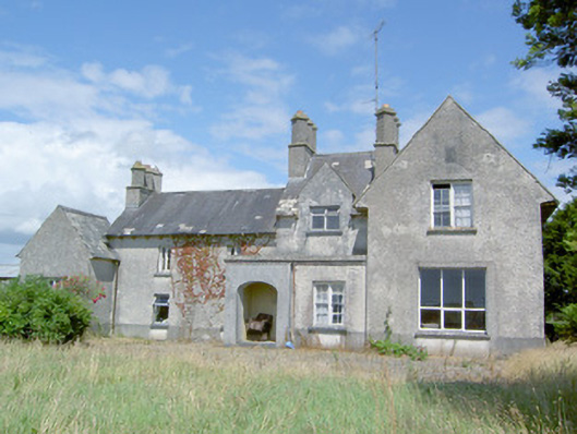 Sleehaun Househouse · 652 yd
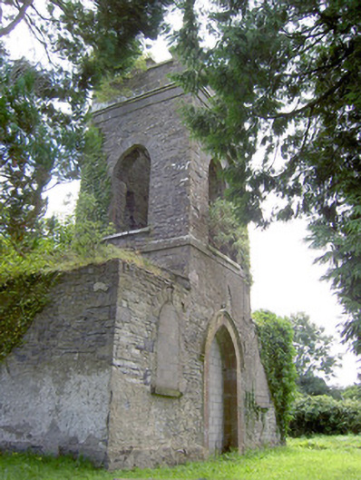 Saint Anne's Church (Kilglass)church/chapel · 765 yd
 Ecclesiastical enclosure in Killeen (ardagh By.)Ecclesiastical enclosure · 1512 yd
 Chapel (Site of)Chapel · 1.0 mi
 Pedunculate OakPedunculate Oak · 1.1 mi
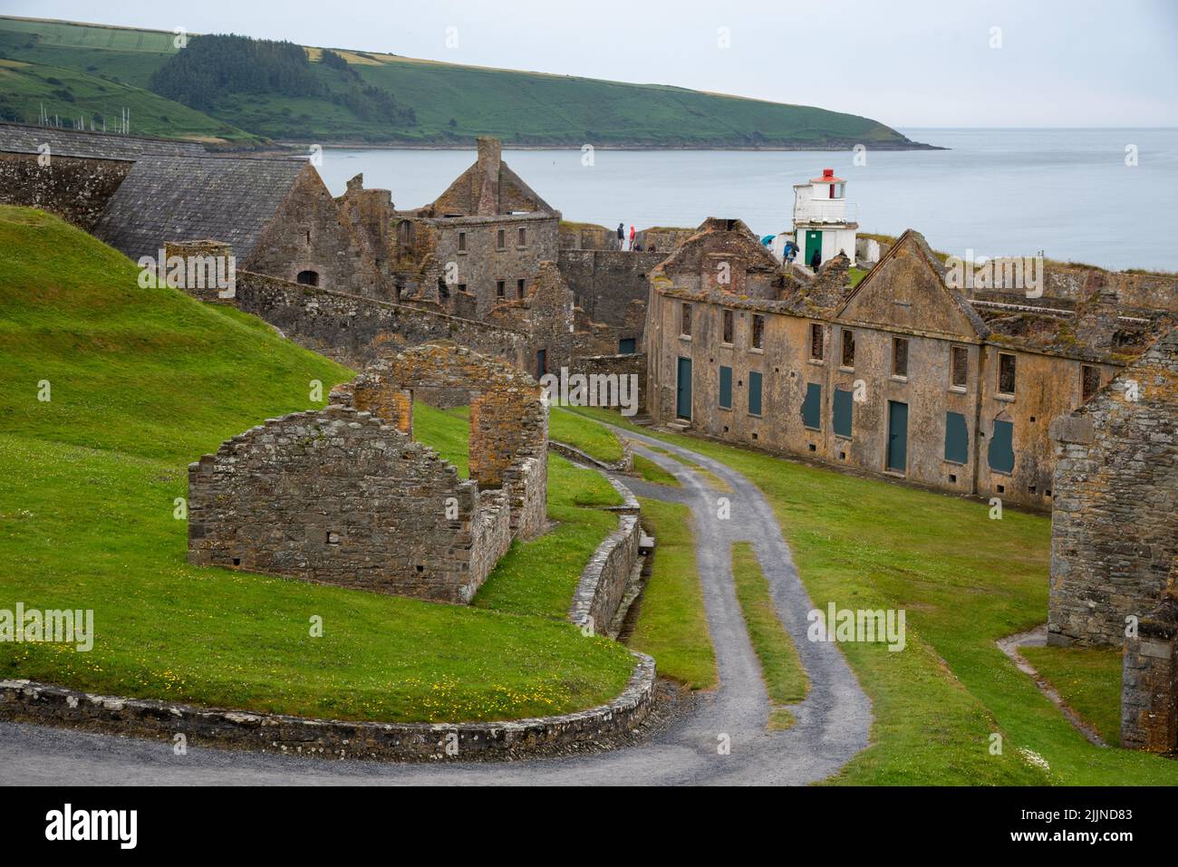 Fort, MoataphucaCastle, motte · 1.6 mi
 Common AlderCommon Alder · 1.6 mi
 MoatCastle, motte · 2.3 mi
 Edgeworthstown BypassMemorial · 4.0 mi
 Abbeyshrule AbbeyRuins · 4.1 mi
 Goldsmith Birthplace, PallasVisitor information · 5.5 mi
 Newcastle WoodsForest · 6.0 mi