
What is recorded here
Indicated is a grassy ringfort on a drumlin above five valleys, its earthen bank still marking a circle twenty-eight metres wide. A disused track cuts the site in two, perhaps forcing people to choose between memory and convenience long before anyone wrote the choice down. The hedge swallows part of the ancient bank, suggesting the land kept the shape even when it stopped pretending to understand it.
Situated on top of a prominent drumlin that is almost centrally placed amongst the five valleys that meet at Manorhamilton c. 900m to the SW. Circular grass-covered area (int. diam. 28m E-W; 26m N-S) defined by an earthen bank (Wth 1.1m; H 0.7m), which is incorporated into a field bank and hedge S-N-E but is reduced to a scarp (max. H 0.5m) E-S. The monument is bisected E-W by a disused farm track, but the original entrance is not identified.
The above description is derived from 'The Archaeological Inventory of County Leitrim' compiled by Michael J. Moore (Dublin: Stationery Office, 2003). In certain instances the entries have been revised and updated in the light of recent research.
Date of upload: 23 September 2008
The monument record does not grant public access. Check the route and ask the landowner before entering private land.
- What survives
- Recorded monument
Places near here
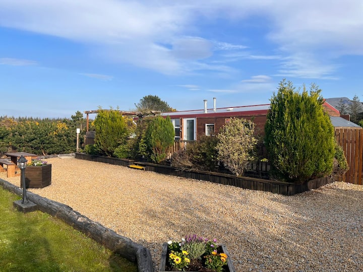 Enclosure in Skreeny (drumahaire By.)Enclosure · 317 yd
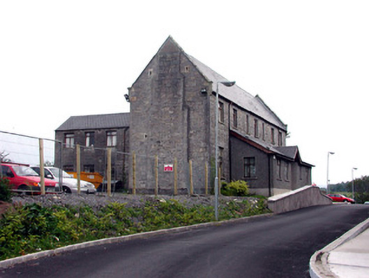 workhouseworkhouse · 544 yd
 Saint Clare's Catholic Churchchurch/chapel · 627 yd
 Teach AllaisSweathouse · 1745 yd
 Giants RockNamed rock · 1.6 mi
 The Giants GraveArchaeological place · 2.0 mi
 Kilroosk RockNamed rock · 2.2 mi
 Ashisland WoodForest · 2.7 mi
 Longhill WoodForest · 3.0 mi
 BenboMountain / peak · 3.0 mi
 Saddle HillMountain / peak · 3.1 mi
 Castle CarCastle · 3.6 mi
Other information
Photo: Credit not shown in the picture search · Rights wording not checked; contact us if this picture should be removed