What is recorded here
Human remains were discovered during excavation for a slurry pit on a farm at Skreen More in November 1989. The skeletons had been exposed in the side of the cutting at a depth of 0.5m below the original ground level. All had been extensively damaged by the digger. The burials appear to have been orientated E-W and lay at intervals of 0.10m - 1.50m apart. There were no traces of burial structures or grave goods and the trench was backfilled. A ruined medieval parish church (SL019-007001-) is located just c. 110m to W of where the burials were found and a holy well, dedicated to St.Adamnáin, c. 65m to N. (Cahill and Sikora 2011, Vol. 2, 514)
Compiled by: Geraldine Stout
Date of upload: 29 July 2013
The monument record does not grant public access. Check the route and ask the landowner before entering private land.
- What survives
- Recorded monument
Places near here
 Saint Adamnan's Wellmonument · 59 yd
 Enclosure in Skreen MoreEnclosure · 76 yd
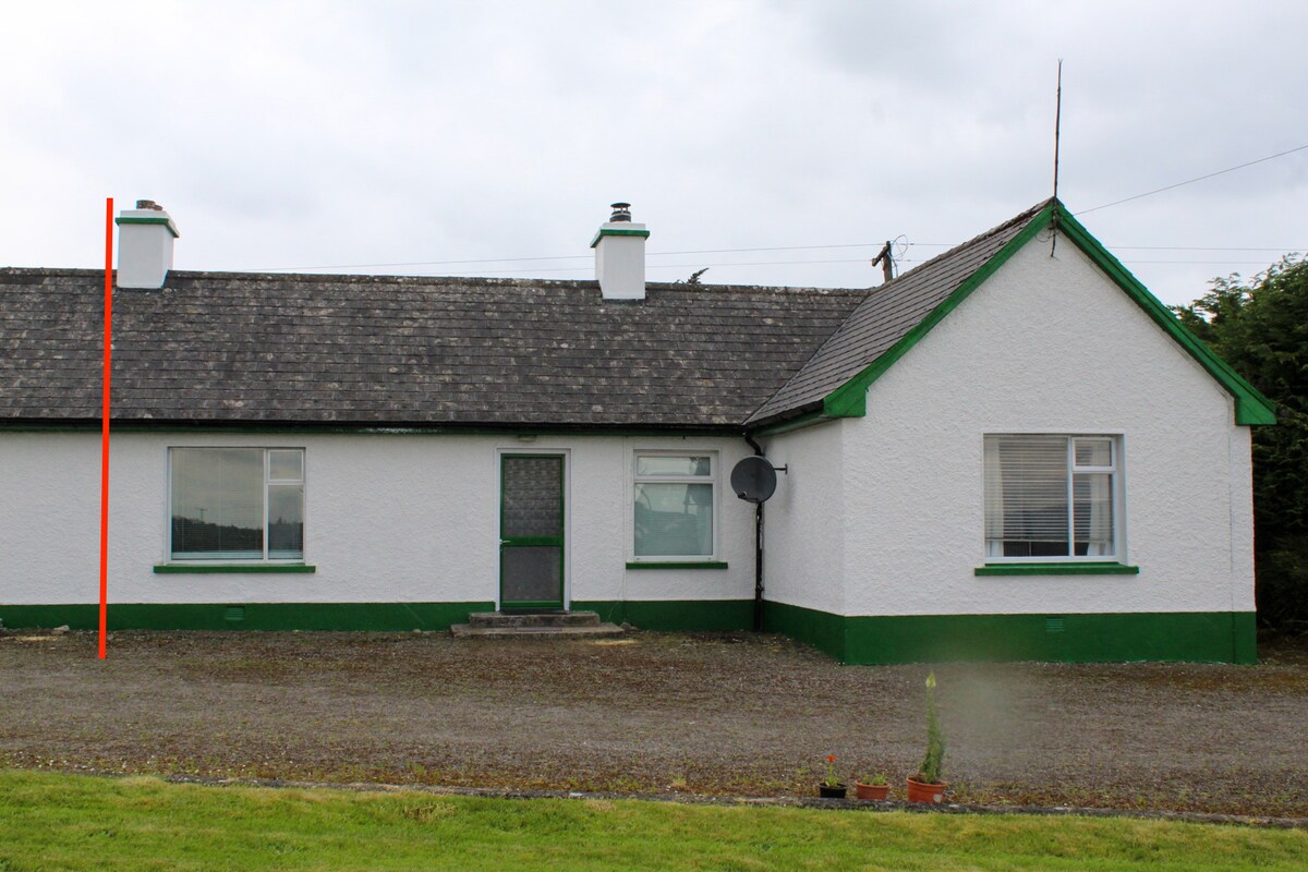 IndicatedChurch · 120 yd
 Enclosure in LeekfieldEnclosure · 440 yd
 CastleCastle, Anglo-Norman masonry castle · 1.4 mi
 Dunmoran StrandBeach / strand · 1.6 mi
 Aughris BeachBeach / strand · 2.1 mi
 Bawn in CarrowbrickeenBawn · 2.9 mi
 Valley WoodForest · 2.9 mi
 Knockalongy North-East TopMountain / peak · 3.0 mi
 Aughris HeadHeadland · 3.1 mi
 Pigeonpark WoodForest · 3.2 mi