
What is recorded here
In pasture/grazing, located on a level terrace on the lower N-facing slopes of a large limestone hill named Red Hill on the 1913 OS 6-inch map. Circular area (18.5m E–W; 18m N–S) defined by a low, sod-covered stone bank/wall (Wth 1.2-1.4m; H 0.3m). The interior slopes gently down to E, reflecting the natural slope. At N, a large boulder marks the W terminal of a gap (Wth 3m) in the enclosing wall. Immediately to E of the gap, the enclosing bank is truncated by a shallow oval pit (6m NW–SE; 4m NE–SW). There are relict field boundaries, part of a field system (SL019-008005-) close to the enclosure, and there is a graveyard (SL019-007002-) c. 60m to NW.
Compiled by: Jane O'Shaughnessy
Date of upload: 20 August 2014
The monument record does not grant public access. Check the route and ask the landowner before entering private land.
- What survives
- Recorded monument
Places near here
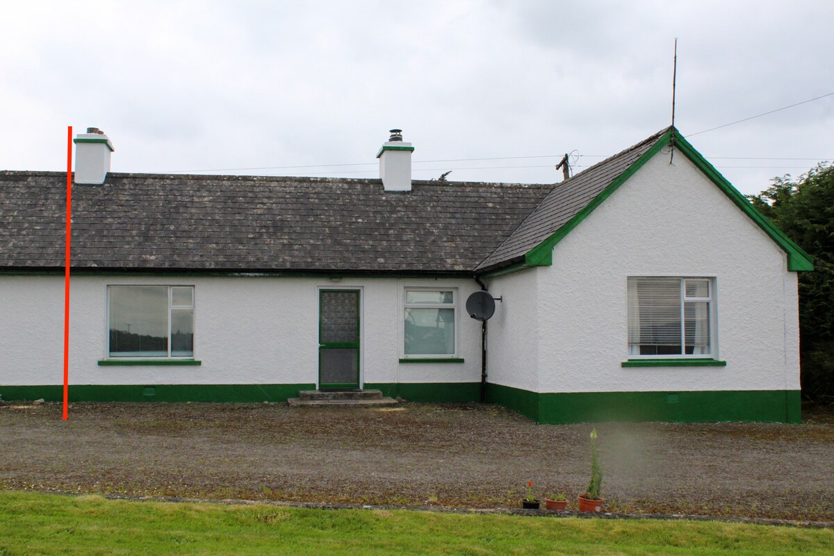 IndicatedChurch · 112 yd
 Saint Adamnan's Wellmonument · 128 yd
 Enclosure in LeekfieldEnclosure · 415 yd
 Enclosure in MasreaghEnclosure · 750 yd
 CastleCastle, Anglo-Norman masonry castle · 1.4 mi
 Dunmoran StrandBeach / strand · 1.7 mi
 Aughris BeachBeach / strand · 2.2 mi
 Valley WoodForest · 2.9 mi
 Bawn in CarrowbrickeenBawn · 2.9 mi
 Knockalongy North-East TopMountain / peak · 2.9 mi
 Aughris HeadHeadland · 3.1 mi
 Pigeonpark WoodForest · 3.1 mi
Other information
Photo: Credit not shown in the picture search · Rights wording not checked; contact us if this picture should be removed