What is recorded here
Situated in the lower south west area of Kimurry Park, Garryowen. Faint cropmark of circular-shaped ring ditch (diam. c. 11m) visible on Google Earth orthoimage taken 28/06/2018.
See attached Google Earth aerial photographs
Compiled by: Caimin O'Brien based on details provided by Niall O'Callaghan
Date of upload: 10 November 2021
The monument record does not grant public access. Check the route and ask the landowner before entering private land.
- What survives
- Recorded monument
Places near here
 Grave YardGraveyard · 252 yd
 St. Patrick's WellSpring · 346 yd
 Not shownRoad, road/trackway · 374 yd
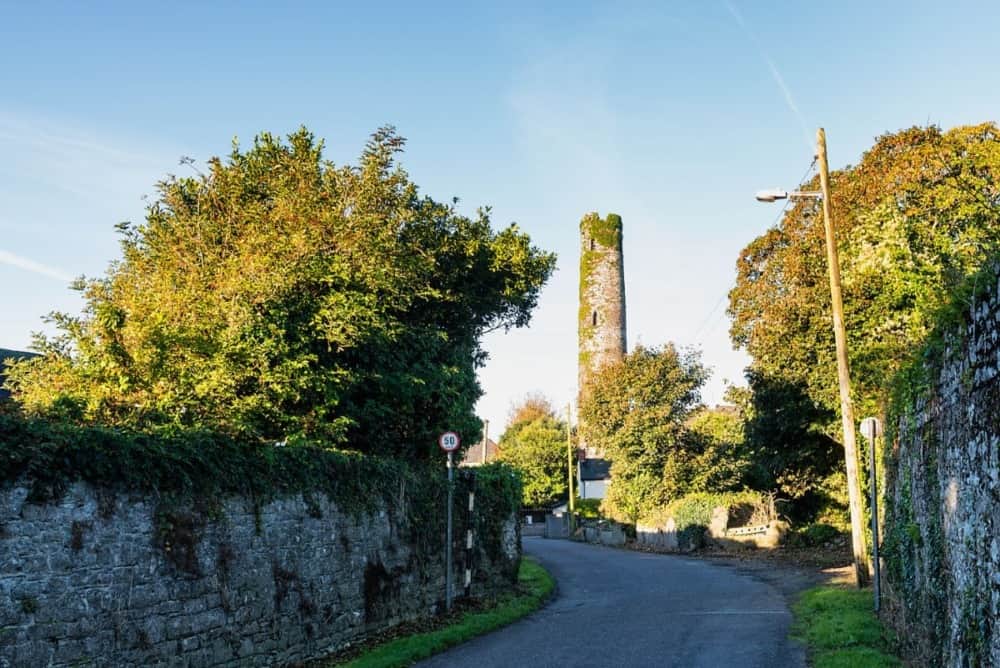 Round Tower (Site of)Castle, tower house · 470 yd
 Fortification in SinglandFortification · 476 yd
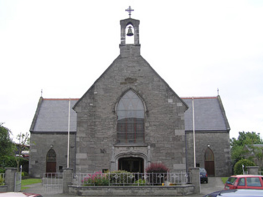 Saint Patrick's Catholic Churchchurch/chapel · 515 yd
 Sarsfield Memorialmonument · 774 yd
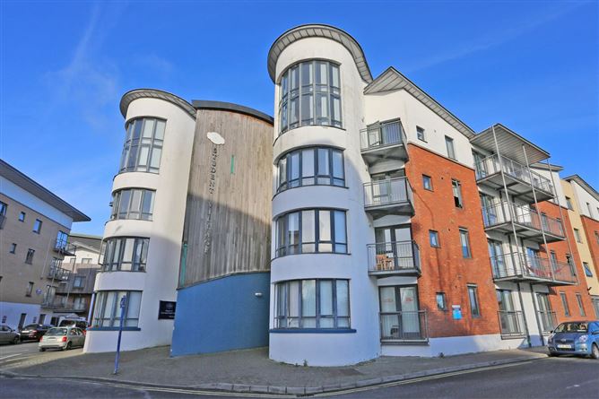 Grove IslandIslet · 1045 yd
 CastleCastle, unclassified · 1188 yd
 The Singer from QuimperMemorial · 1322 yd
 Hunt MuseumMuseum · 1358 yd
 Limerick War MemorialMemorial · 1572 yd