What is recorded here
One tall granite slab still leans in a conifer clearing beside a forgotten barrow, its smooth east face catching light while the rough west side hides in shadow. It may have marked a burial, a boundary, or a warning, but the packing stones at its base suggest someone set it deliberately rather than leaving it to chance. The broken top and sharp angle preserve more life than a polished museum piece would, because they admit that the hand which placed it has disappeared.
In a small coniferous forest clearing at the top of a short, moderately steep SW slope, c. 120m to SSW of a barrow site (KD038-056----), in what was known as the 'Long Stone Field on Mr. Leonard's farm', where it stood 'at a sharp angle with the ground' (Fitzgerald 1906-8, 465). The tall, (and now vertical) sub-rectangular granite stone is orientated on a N-S axis (H 2.45m; L 0.95m; Wth 0.4m) with packing stones at the base. It tapers slightly towards the top, portion of which is broken off, and its smooth E face contrasts with the other, rougher faces.
Date of upload: 15 September 2016
Probably dating to the Neolithic or Bronze Age, this standing stone may have had ritual or ceremonial significance, possibly linked to the nearby barrow site. Local folklore or specific use is not recorded.
The monument record does not grant public access. Check the route and ask the landowner before entering private land.
- What survives
- Recorded monument
Places near here
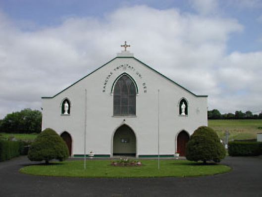 Catholic Church of the Blessed Trinitychurch/chapel · 678 yd
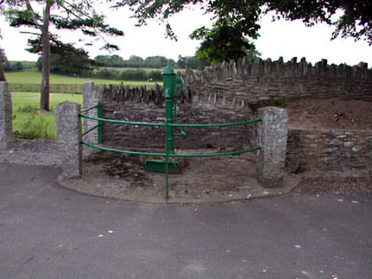 water pumpwater pump · 774 yd
 European LarchEuropean Larch · 1132 yd
 Moone Fox CovertForest · 1385 yd
 St. Columbkilles WellHoly well · 1692 yd
 Stone CrossCross, High cross · 1693 yd
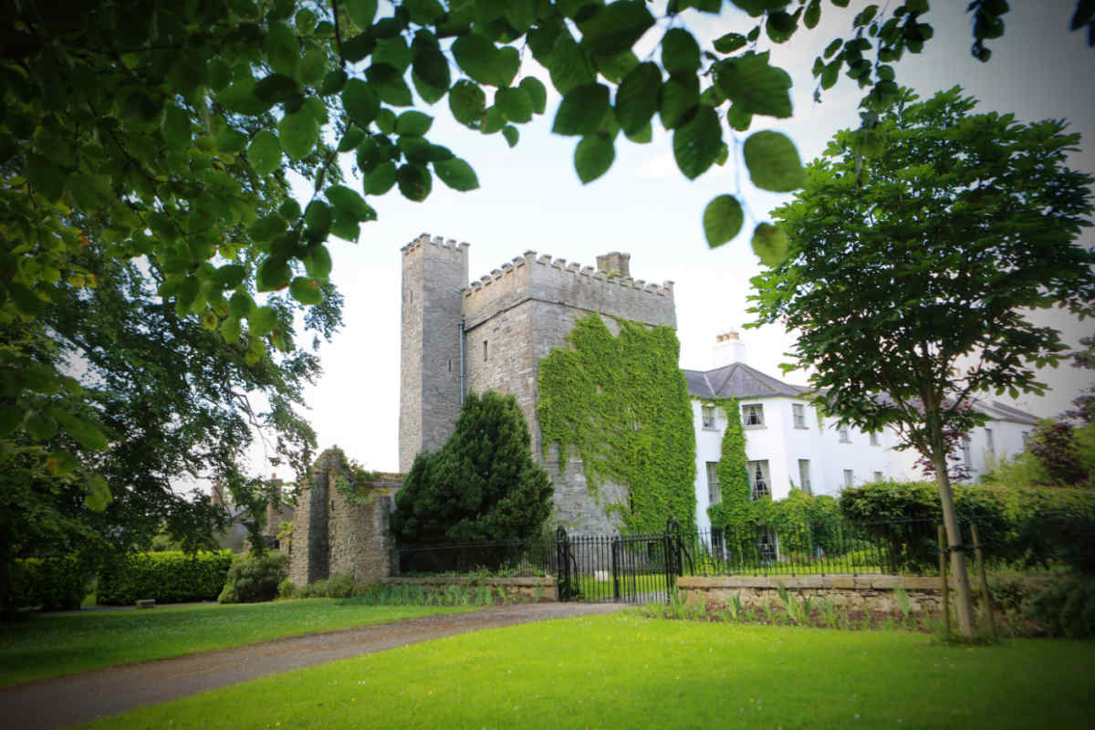 CastleCastle, unclassified · 1.1 mi
 Bolton CastleCastle, tower house · 1.1 mi
 Burtown House and GardensHeritage attraction · 3.2 mi
 Lorcán Ó TuathailMemorial · 3.8 mi
 Castledermot Round TowerHeritage attraction · 4.2 mi
 ProclamationMemorial · 4.4 mi