What is recorded here
Fairy fort / ringfort in Simonstown (rathconrath By.) is a fairy fort or ringfort in Simonstown (rathconrath By.), County Westmeath, Ireland. Situated in level pasture, the monument was not depicted on the 1837 edition Ordnance Survey six-inch map or the 1913 edition Ordnance Survey twenty-five-inch map. A possible antiquity was shown as a double dotted circle on a 1776 Estate Map, and the levelled monument was described in 1983 as having no surface remains visible.
Situated in level pasture. Not depicted on the 1837 ed. OS 6-inch map or the 1913 ed. OS 25-inch map. Possible antiquity shown as a double dotted circle on 1776 Estate Map (NLI, MS 21 F 48 (26)). Levelled monument described in 1983 as no surface remains visible. Levelled monument is not visible on Digital Globe aerial photography.
Compiled by: Alison McQueen, Vera Rahilly and Caimin O’Brien
Date of upload: 04 February 2019
The monument record does not grant public access. Check the route and ask the landowner before entering private land.
- What survives
- Recorded monument
Places near here
 Kilpatrick FortFairy fort / earthen ringfort · 466 yd
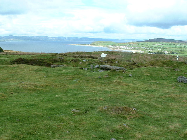 Enclosure in Kilpatrick (rathconrath By.)Enclosure · 633 yd
 Simonstown Castle (in Ruins)Castle, unclassified · 685 yd
 Cartron Househouse · 1005 yd
 Site of CastleCastle, unclassified · 1018 yd
 32nd Lock Keeper's HouseRuins · 1224 yd
 WestmeathVisitor information · 1.5 mi
 Ancient Ring FortWood · 1.9 mi
 Baronstown ForestWood · 3.7 mi
 Carrickphilbin IslandIslet · 3.9 mi
 Srudarra IslandIslet · 4.5 mi
 Hill of UisneachMountain / peak · 4.9 mi