What is recorded here
Aerial photograph (GB89.AF.10) shows the cropmark of a circular enclosure defined by a fosse. Cropmark of enclosure visible on Google earth aerial imagery captured 28/06/2018.
Compiled by: Dr. Gillian Barrett
Revised by: Caimin O'Brien
The attached image is copyright and uploaded courtesy of Dr. Gillian Barrett.
See attached image taken from Google Earth taken 28/06/2018
Date of revised upload: 11 March 2019
The monument record does not grant public access. Check the route and ask the landowner before entering private land.
- What survives
- Recorded monument
Places near here
 Enclosure in SimmonstownEnclosure · 371 yd
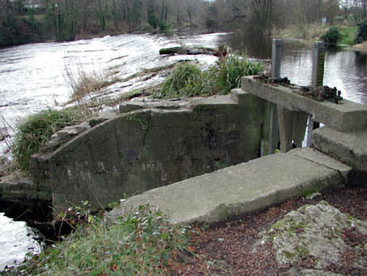 The Abbeysluice/sluice gate · 509 yd
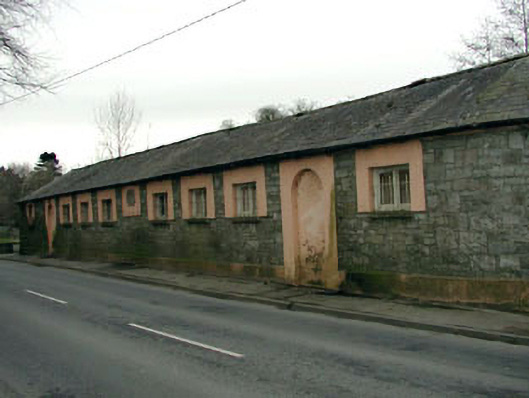 The Abbey National Schoolschool · 570 yd
 Oriental planeOriental plane · 600 yd
 CastleCastle, tower house · 621 yd
 John McLaughlinMemorial · 714 yd
 IndicatedEcclesiastical enclosure · 1031 yd
 Arthur GuinessMemorial · 1077 yd
 Common LimeCommon Lime · 1232 yd
 Castletown HouseHeritage attraction · 1.3 mi
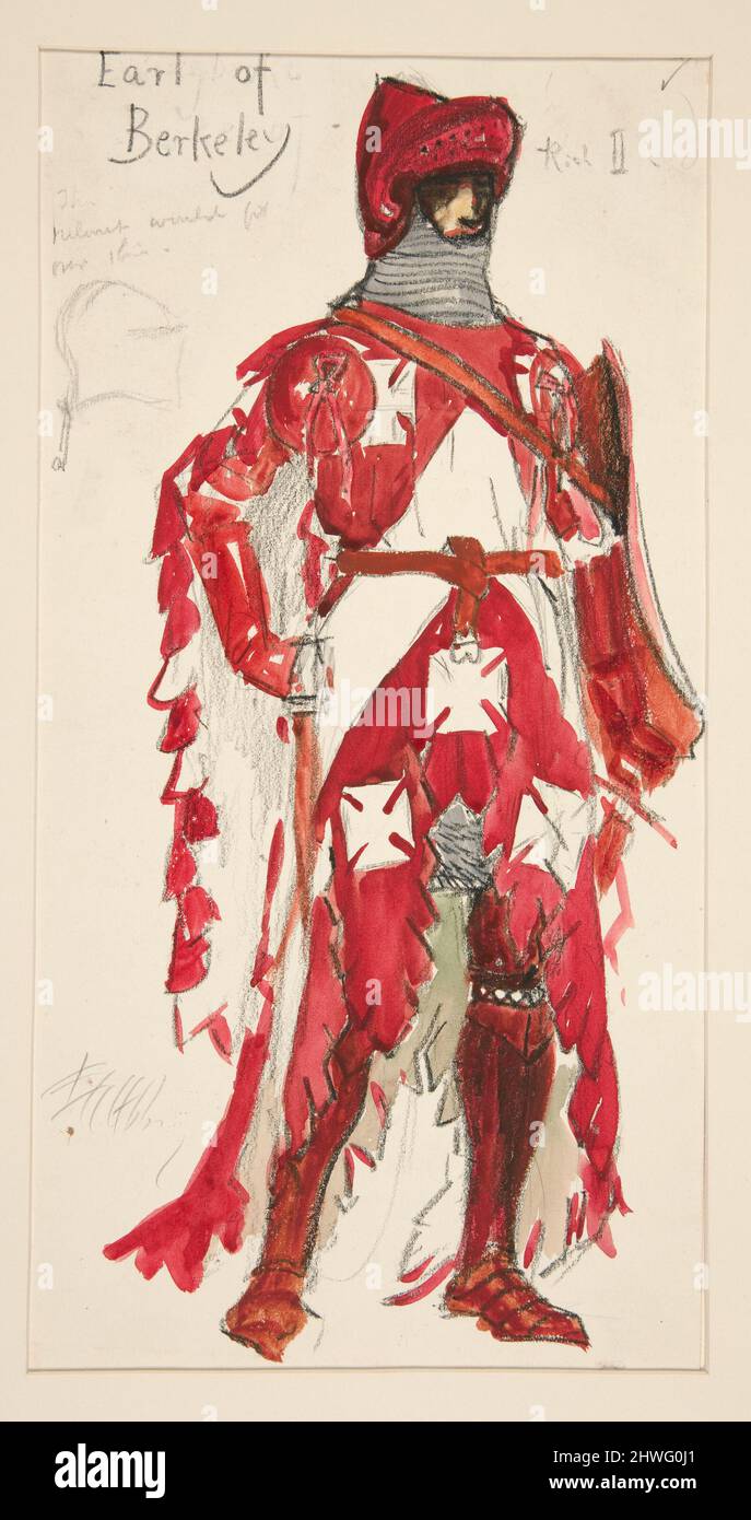 Berkeley Costume and Toy CollectionMuseum · 1.3 mi
 Grand Canal WayWalking route · 1.9 mi