What is recorded here
Situated on flat poorly drained land with the Ballyfinboy River to the SW. Not visible at ground level. (J.Feehan, Environmental Survey, (Damer House), 1987).
The above description is derived from 'The Archaeological Inventory of County Tipperary. Vol. 1 - North Tipperary' compiled by Jean Farrelly and Caimin O'Brien (Dublin: Stationery Office, 2002). In certain instances the entries have been revised and updated in the light of recent research.
Date of upload/revision: 22 September 2008
The monument record does not grant public access. Check the route and ask the landowner before entering private land.
- What survives
- Recorded monument
Places near here
 Ballyfinboy Castle (in Ruins)Castle, tower house · 702 yd
 Sheela-na-gig in BallyfinboySheela-na-gig · 717 yd
 Settlement desertedSettlement deserted, medieval · 724 yd
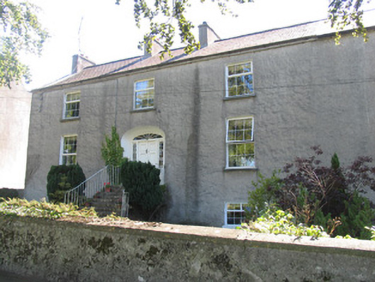 Réalt na Marahouse · 973 yd
 Borrisokane Churchchurch/chapel · 1358 yd
 Borris WoodWood · 1.4 mi
 Tombrickan CastleCastle · 1.9 mi
 Carrickboy WoodForest · 4.6 mi
 Grassy IslandIslet · 5.2 mi
 Brieny IslandIslet · 5.3 mi
 MacDonagh HouseMemorial · 5.3 mi
 Thomas MacDonagh Heritage CentreMuseum · 5.3 mi