What is recorded here
Indicated is a circular earth fort on a Mayo rise where hazel and hawthorn have claimed much of its edge. Its bank, ditch and outer ridge still mark a small inhabited world, while a shallow oval depression at one side hints that a passage once cut through the ground. People may have lived, hidden or tended this place before the trees closed over it.
In pasture, on a rise with a marked fall of ground to SW−N. Very good views.
Roughly circular raised area (29m N-S; 32m E-W) defined at NNE−E by a bank of earth and stone, reduced elsewhere to scarp topped with slightly raised stony rim, outside which it is enclosed by a fosse (2.5-3m) with an external bank (Wth 2m; int. H 0.2m; ext. H 0.35m).
The fosse is largely silted up and at E−S is filled with field clearance debris. The outer bank survives as a low, dilapidated earth and stone rise. At N where it merges with the natural fall of ground, the fosse appears as a level terrace (Wth 2.8m) with the outer bank reduced to a stony scarp (H 0.7m) merging with the hill slope. In the rath interior, stones are strewn across the ground surface, and protrude slightly from the surface in the N and NE part of the interior. The W and SW sector appear to be a slightly higher level than the rest of the interior, with a slope down towards the bank at W and N. In the SW quadrant, there is an oval depression (7.5m NE-SW; 4m NW-SE; D 0.5m) with stones protruding randomly from the sides, possibly a collapsed Man-made underground passage (MA081-028001-).
A gap (Wth 1.6m) in the bank at ESE may be an original entrance. There appears to be a corresponding gap in the outer bank, now blocked with field clearance debris. The ringfort is engulfed in hazel and hawthorn trees.
Compiled by: Jane O’Shaughnessy
Date of upload: 8 December 2021
The monument record does not grant public access. Check the route and ask the landowner before entering private land.
- What survives
- Recorded monument
Places near here
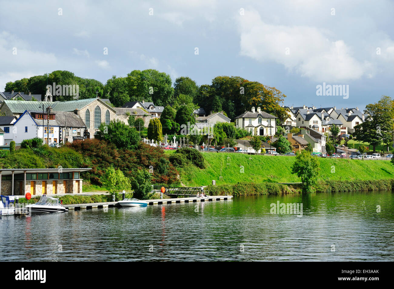 IndicatedFairy fort / earthen ringfort · 525 yd
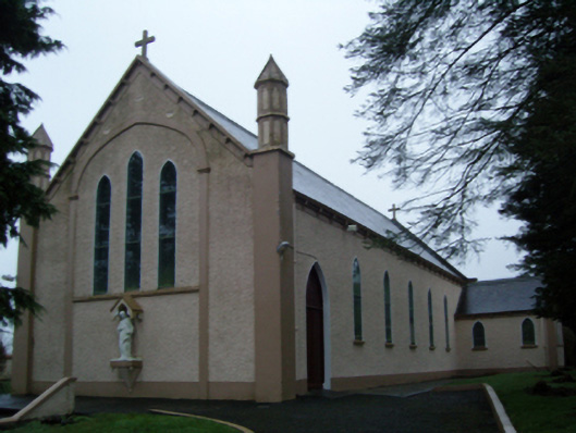 Saint Anne's Catholic Churchchurch/chapel · 1269 yd
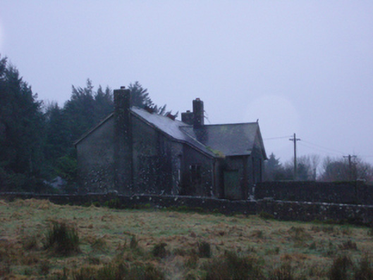 Shanvaghera National Schoolschool · 1370 yd
 LisnaheemoyleFairy fort / earthen ringfort · 1.1 mi
 CastleCastle, unclassified · 1.9 mi
 Rath Castle in ruinsCastle, tower house · 2.5 mi
 East Mayo Brigade MonumentMemorial · 2.7 mi
 Knock ShrineHeritage attraction · 2.9 mi
 Knock MuseumMuseum · 3.0 mi
 I'll Send You The FareMemorial · 5.4 mi
 Thorn CaveCave · 6.6 mi
 Oak WoodForest · 10 mi