
What is recorded here
The cross stands in a garden, not on a field, after leaving Kiltuc Church and being re-erected around 1901. Its granite body is small enough to pass quickly, but the naked crucifixion on one face and the outlined figure on the other suggest it was made to be seen, remembered and argued about. The old map called the base a cromlech, which adds a layer of invention to an already changed place.
The cross now stands at the bottom of a garden, accessed by a short laneway N of where it is marked on the OS 1937 ed. It (DU026-54004-) was formerly located in Kiltuc Church (DO026-054001-) but was re-erected c. 1901 on a base in the laneway between Rathmichael and Shankill Castle. The base was marked on the map as 'Cromlech'. It is a round granite boulder with a level top and a socket cut into the centre to receive the cross (H 0.3m, diam 0.7m). On the SE corner is a cupmark. The cross is formed from granite with an oval head and short arms. It is chamfered all around on both faces. The SE face bears a crucifixion scene in relief and the figure of Christ is naked. The NW face contains a similar figure outlined by a broad incised line (H 0.68m, Wth 0.43m); (Ó hEailidhe 1958, 106; Turner 1983, 64-65, 73).
Compiled by: Geraldine Stout and Padraig Clancy.
Revised upload on: 19 April 2018.
The monument record does not grant public access. Check the route and ask the landowner before entering private land.
- What survives
- Recorded monument
Places near here
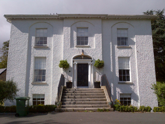 Shankill Housecountry house · 228 yd
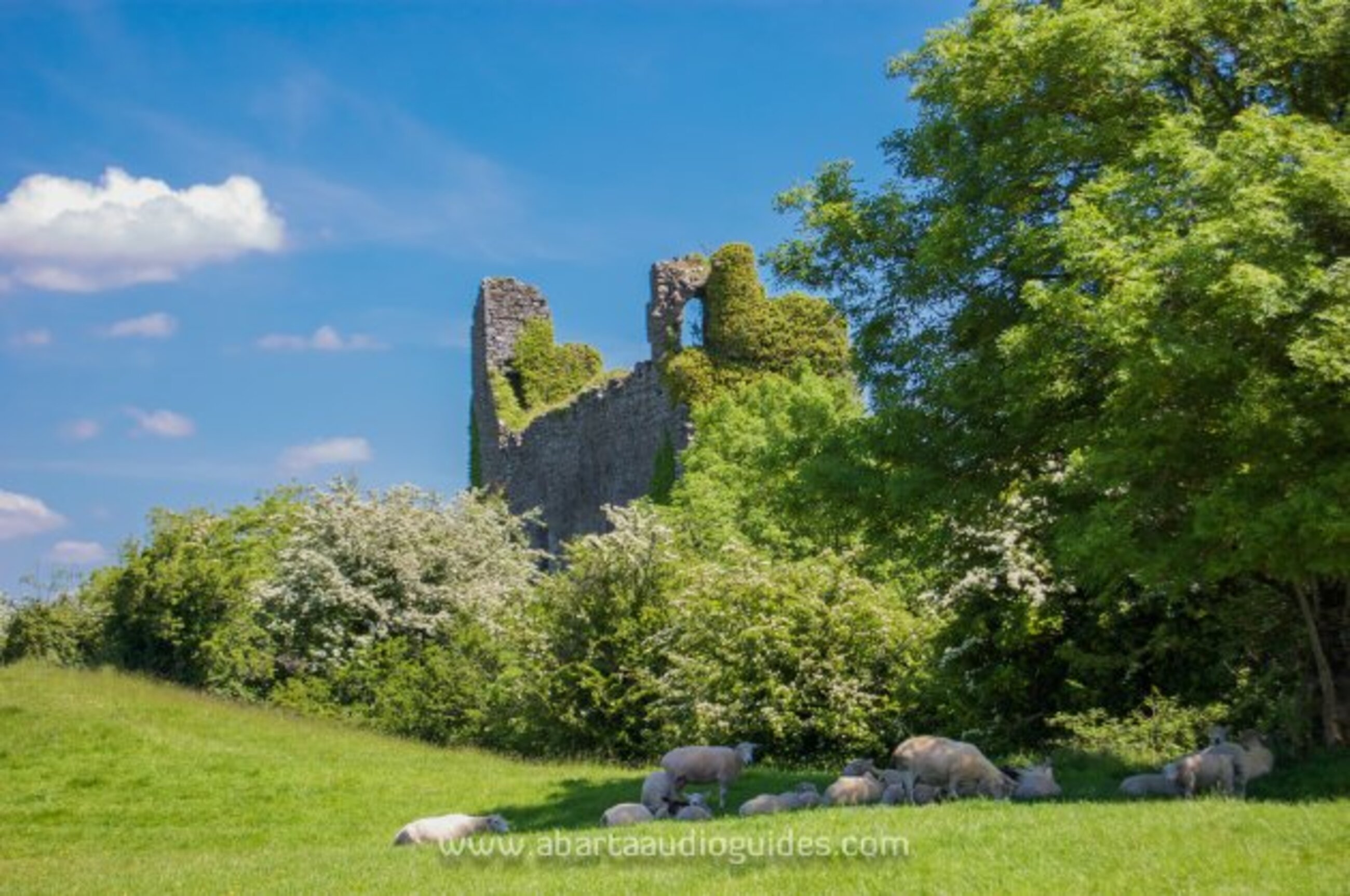 Settlement desertedSettlement deserted, medieval · 238 yd
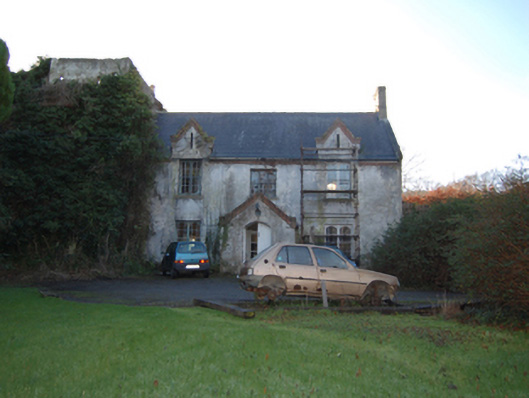 Shankill Castlefarm house · 311 yd
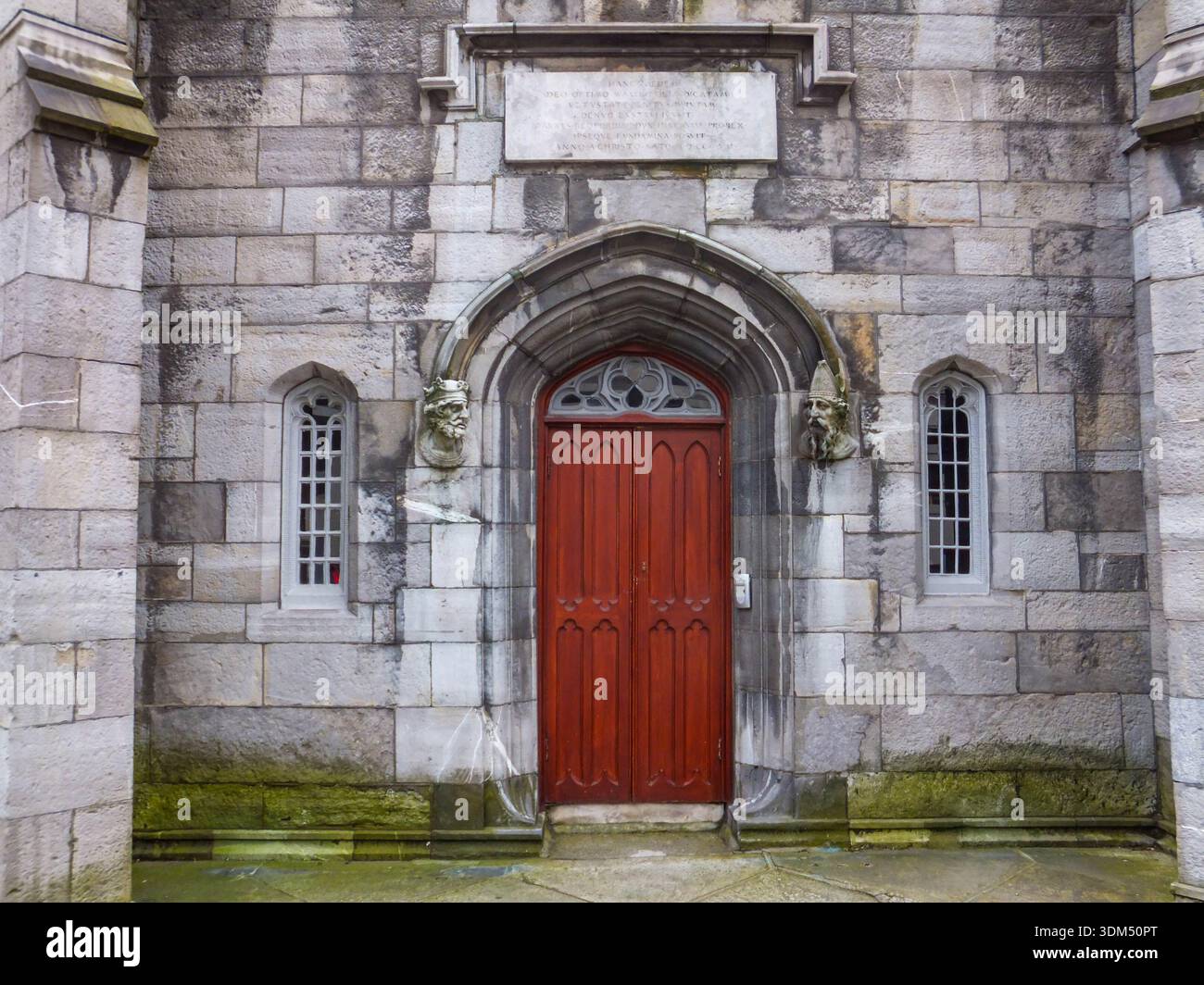 Ecclesiastical enclosure in RathmichaelEcclesiastical enclosure · 467 yd
 Rathmichael WalkWalking route · 535 yd
 Bawn in RathmichaelBawn · 910 yd
 Puck's CastleCastle · 931 yd
 Dublin Mountains Way Trailhead SignVisitor information · 1308 yd
 St. James GateVisitor information · 1.0 mi
 Carrickgollogan HillMountain / peak · 1.1 mi
 Loughlinstown WoodsNature reserve · 1.2 mi
 Monterey CypressMonterey Cypress · 1.2 mi
Other information
Photo: Credit not shown in the picture search · Rights wording not checked; contact us if this picture should be removed