
What is recorded here
Enclosure in Shanco (fore By.) is a D-shaped grass-covered area in County Meath, Ireland, measuring 57m E-W and 35-40m N-S, defined by a flat-bottomed fosse and traces of an outer counterscarp bank. Entrances appear as ramps at the centre of the E side and the W end of the N side, while six house remains occupy the interior. Rath (ME023-002----) lies c. 150m to the NE and rath (ME023-004----) c. 150m to the SSW. The houses are probably closely contemporary with the enclosure, laid out in relation to each other and its edges.
This is a sub-rectangular or D-shaped grass-covered area (dims 57m E-W; 35-40m N-S) defined by a flat-bottomed fosse (at W: Wth of top 4.5m; Wth of base 2.3m; int. D 1.4m; ext. D 0.5m; at S: Wth of top 7m; Wth of base 3m; int. D 1.5m; ext. D 0.5m) and traces of an outer counterscarp bank. There are entrances visible as ramps at the centre of the E side (Wth 5m) and at the W end of the N side (Wth 7m). The interior is occupied by the remains of six houses (dims c. 5m x c. 5m to c. 7-11m x c.5m) defined by wall footings or visible as low platforms. The houses are probably closely contemporary with each other and the enclosure as they appear to be laid out in relation to each other and the edges of the enclosure. Rath (ME023-002----) is c. 150m to the NE and rath (ME023-004----) is c. 150m to the SSW.
The above description is derived from the published 'Archaeological Inventory of County Meath' (Dublin: Stationery Office, 1987). In certain instances the entries have been revised and updated in the light of recent research.
Compiled by: Michael Moroe
Date of revision: 27 February 2019
The monument record does not grant public access. Check the route and ask the landowner before entering private land.
- What survives
- Recorded monument
Places near here
 Church (in Ruins)Church · 1370 yd
 European ashEuropean ash · 1421 yd
 CastleCastle, unclassified · 1494 yd
 MoatCastle, motte and bailey · 1519 yd
 Enclosure in GibbonstownEnclosure · 1717 yd
 Enclosure in BoherardEnclosure · 1.2 mi
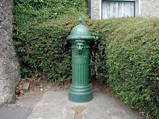 water pumpwater pump · 1.6 mi
 Bradley's WoodWood · 2.2 mi
 Kells HillMountain / peak · 3.0 mi
 Drewstown LittleMountain / peak · 3.7 mi
 BoglandMemorial · 4.8 mi
 Oliver Plunkett memorialMemorial · 5.0 mi
Other information
Photo: Credit not shown in the picture search · Rights wording not checked; contact us if this picture should be removed