What is recorded here
Eleven small rectangular shadows still mark the Kildare field, perhaps homes abandoned before the sand pits appeared beside them. The crop grows taller above their hidden walls, giving back the shape of a lost neighbourhood each summer.
Visible on an aerial photograph (GSI N442-1) as the cropmarks of a series of some eleven, small rectangular and sub-rectangular enclosures (est. av. dims. L c. 20m; Wth c. 10m) arranged somewhat haphazardly over a rectangular area (dims. L c. 150m E-W; Wth c. 100m N-S). On level tillage. No obvious surface trace of the monuments survive, but the field was under a cereal crop. The 1st ed. (1838) of the OS 6-inch map shows three small oval sand pits immediately to the N, and it is possible that the features on the aerial photograph are the result of similar activity, although they might be the remains of deserted settlement.
Compiled by: Gearóid Conroy
Date of upload: 10 June 2011
The monument record does not grant public access. Check the route and ask the landowner before entering private land.
- What survives
- Recorded monument
Places near here
 Killinthomas Wood (Rathangan)Wood · 445 yd
 Ballydermot Turf Cutters Camp (ruin)Ruins · 498 yd
 Enclosure in KillyguireEnclosure · 713 yd
 Enclosure in Newtown (killinthomas Ed)Enclosure · 1529 yd
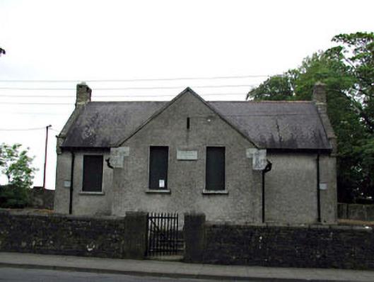 Rathangan National Schoolschool · 1.1 mi
 Bithia Mary CrokerMemorial · 1.1 mi
 Community OrchardNature reserve · 1.1 mi
 Site of CastleCastle, tower house · 1.3 mi
 Offaly CastleCastle, tower house · 2.1 mi
 The Fairy BowerHeritage attraction · 3.0 mi
 Lullymore Heritage ParkHeritage attraction · 3.1 mi
 Sli na Slainte - mapVisitor information · 3.8 mi