What is recorded here
Earthwork in Seskinryan is a vanished circular enclosure in County Carlow, Ireland, reaching forty metres across before the land erased its mark. It appeared on maps as a rath and a curving bank, but no surface trace remains for a person to touch or follow. The distance between a drawn line and empty ground turns the site into a memory that refuses to be seen.
The following description is derived from the published 'Archaeological Inventory of County Carlow' (Dublin: Stationery Office, 1993). In certain instances the entries have been revised and updated in the light of recent research.
Date of upload/revision: 17 July 2007
Shown on 1837 'OS 6-inch' map as circular enclosure (max. diam. c. 40m). 1938-39 ed. shows curving portion of bank depicted by hachures NW-NNE. Marked 'Rath (site of)' on 'OS 25-inch' map. No visible surface traces.
The monument record does not grant public access. Check the route and ask the landowner before entering private land.
- What survives
- Recorded monument
Places near here
 Enclosure in BallywilliamroeEnclosure · 830 yd
 Ballymoon Castle (in ruins)Castle, Anglo-Norman masonry castle · 943 yd
 Enclosure in BallymoonEnclosure · 1037 yd
 Wych ElmWych Elm · 1603 yd
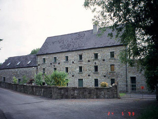 mill (water)mill (water) · 1.3 mi
 Carrig WoodWood · 1.3 mi
 Ballyloughan Castle (in ruins)Castle, Anglo-Norman masonry castle · 1.4 mi
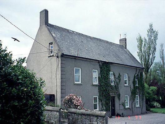 farm housefarm house · 1.7 mi
 The Columban WayVisitor information · 2.0 mi
 Lock Keeper's House and Lodge MillsVisitor information · 2.5 mi
 Church (in ruins), GraveyardChurch · 3.4 mi
 Church, GraveyardChurch · 4.0 mi