What is recorded here
On a gentle N-facing slope in undulating terrain under tillage. Identified as a sub-circular cropmark on aerial photographs (ASIAP (27) 36, 37) with a linear field ditch, visible as a cropmark, running roughly E-W along the northern edge, which is part of an associated field system (TS084-018001-). A number of other enclosures are visible as cropmarks in the vicinity, conjoined enclosures (TS084-018003- and TS084-018007-) to the SE and three conjoined enclosures (TS084-018002-; TS084-018004-; TS084-018005-) to the SW. There is no visible trace of these at ground level.
Compiled by: Jean Farrelly
Date of upload: 23 October 2014
This remains an important historical record, but the official description says the monument is no longer visible or has been destroyed. The monument record does not grant public access. Check the route and ask the landowner before entering private land.
- What survives
- No visible remains or recorded as destroyed
Places near here
 Enclosure in Seskin (kilsheelan Par.)Enclosure · 138 yd
 Castle (in ruins)Castle, tower house · 1035 yd
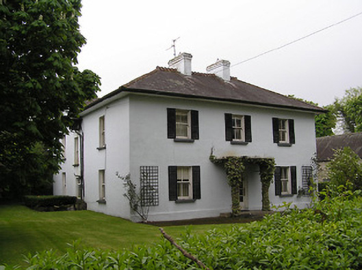 Kilsheelan Househouse · 1346 yd
 Kilsheelan Garda Síochána Stationgarda station/constabulary barracks · 1416 yd
 KilsheelanSettlement deserted, medieval · 1420 yd
 Garden of RenewalNature reserve · 1443 yd
 Pedunculate OakPedunculate Oak · 1686 yd
 Gurteen CastleCastle · 1.3 mi
 CarrigcoumMountain / peak · 2.0 mi
 CarrigeenseebohillaMountain / peak · 2.0 mi
 Maurice DavinMemorial · 2.6 mi
 Carrigaloe RockNamed rock · 3.3 mi