What is recorded here
The fairy fort or stone ringfort in Seafield is in County Sligo, Ireland. The oval site measures 30 metres northeast-southwest and 20 metres northwest-southeast on a pasture ridge. A ruined stone wall, 1.7 metres wide and 0.4 metre high, marks the northeast edge, while a 1.5 metre gap faces east. A shallow depression near the west edge may cover a collapsed underground passage, and scattered sea shells suggest people once lived there.
In pasture, located a ridge in an area of undulating terrain. Raised, oval steep-sided area (30m NE-SW by 20m NW-SE). A ruined stone wall (Wth 1.7m; H 0.4m) defines the top of the platform at NE-E side. There is an entrance gap (Wth 1.5m) at E. A depression (5m x 3.2m; D 0.75m) near the W edge of the site may indicate a collapsed Man-made underground passage (SL020-007003-) and the presence of a few sea-shells in the matrix of the depression may indicate a midden (SL020-007002-).
Compiled by: Jane O'Shaughnessy
Date of upload: 8 July 2016
The monument record does not grant public access. Check the route and ask the landowner before entering private land.
- What survives
- Recorded monument
Places near here
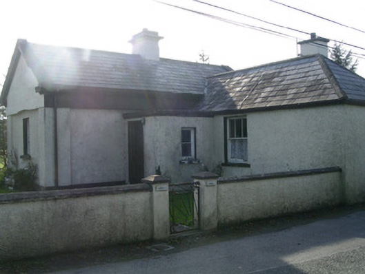 Lisheengate lodge · 290 yd
 TemplenagalliaghdooReligious house, unclassified · 432 yd
 Enclosure in SeafieldEnclosure · 486 yd
 Enclosure in Grange EastEnclosure · 789 yd
 The GlenWood · 1097 yd
 Castle (in Ruins)Castle, unclassified · 1136 yd
 CarrigeenfaddaIslet · 1439 yd
 Knocknarea trailWalking route · 1.2 mi
 KnocknareaMountain / peak · 1.4 mi
 Carrowmore Visitors CentreVisitor information · 1.7 mi
 Derinch PointHeadland · 1.8 mi
 Carrowmore Megalithic CemeteryHeritage attraction · 1.8 mi