What is recorded here
Counterfort walls still stand inside Scribbagh, though no human hand has shaped them for centuries. The rath is a child of weather and time, built from river silt and mountain pressure. It belongs to no person, yet it holds the shape of every storm that passed through Fermanagh.
The official Northern Ireland record identifies this as COUNTERSCARP RATH. Recorded period: E.CHRIST.. The official map point was placed at the centre of the recorded archaeological site from the source map reference.
The monument record does not grant public access. Check the route and ask the landowner before entering private land.
- What survives
- Recorded monument
Places near here
 HOLY WELL: TOBERPATRICK in FrevaghHOLY WELL: TOBERPATRICK · 1.0 mi
 MONASTIC SITE WITH CROSS-SHAFT & BASE: KILCOO in FrevaghMONASTIC SITE WITH CROSS-SHAFT & BASE: KILCOO · 1.0 mi
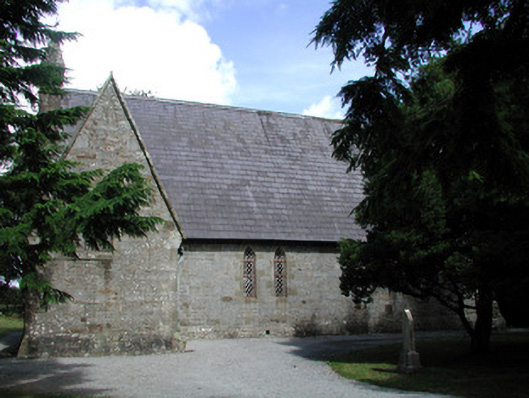 Kiltyclogher Church (Cloonclare)church/chapel · 1.4 mi
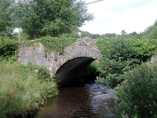 bridgebridge · 1.4 mi
 CarriganMountain / peak · 2.9 mi
 Big DogMountain / peak · 3.3 mi
 Crannoge IslandIslet · 3.8 mi
 Ross PointHeadland · 3.8 mi
 InishteigeIsland · 4.2 mi
 Fowley's FallsPicnic place · 4.3 mi
 Giant's GraveArchaeological place · 4.6 mi
 Lough MacNean WalkWalking route · 5.6 mi