What is recorded here
Half a metre under the grass at Ahish, a rectangular stone box sits waiting for the tide to explain itself. Three crosses mark its top, yet no hand is recorded having set them. The sea gives back what it takes, but it never says why.
Structure described as a 'Leacht' in 1996 as follows; 'This is located to one side of the inner end of the entrance passage to the main terrace. Subrectangular in plan, 2.5m NWSE x 1.9m NESW, its sides are faced with horizontally laid slabs. There are three stone crosses [KE104A001095/096/097-] on its upper surface' (O'Sullivan and Sheehan 1996, 286, no. 948 (14)). Following excavations in this area it is considered that this is a structure dating from the time of the occupation of the island by lighthouse personnel in the early 19th century (pers. comm. G. Rourke).
Compiled by: Elizabeth Byrne, Ursula Egan and Sheila Ronan, Archaeological Survey Unit, University College, Cork.
Date of upload: 30 May 2011
The monument record does not grant public access. Check the route and ask the landowner before entering private land.
- What survives
- Recorded monument
Places near here
 Skellig MonasteryHeritage attraction · 9 yd
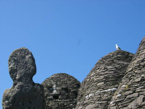 Church (in Ruins)Church · 16 yd
 North PeakMountain / peak · 44 yd
 Cross in Sceilg MhichílCross · 122 yd
 Sceilig MhichílIslet · 143 yd
 Enclosure in Sceilg MhichílEnclosure · 186 yd
 Church in Sceilg MhichílChurch · 231 yd
 Sceilg MhíchílMountain / peak · 254 yd
 Pointe na bhFaoileannHeadland · 386 yd
 Sceilig BheagIslet · 1.5 mi
 LéimeHeadland · 6.8 mi
 Tráigh na SplinceBeach / strand · 8.6 mi