What is recorded here
According to an index of the Civil Survey (1654-6) two mills that were probably the property of Nicholas Bryan of Scar (WX046-07001-) were at Scar, and one mill on the E boundary of the townland is mentioned in the description of the boundary of Duncormick parish (Simington 1953, 144, 164). A corn mill is marked on the stream forming the E boundary of the townland on the 1839 ed. of the OS 6-inch map, but it cannot be certain that the original mill is on this site.
Compiled by: Michael Moore
Date of upload: 20 August, 2013
The monument record does not grant public access. Check the route and ask the landowner before entering private land.
- What survives
- Recorded monument
Places near here
 CastleRuins · 82 yd
 Castle (in ruins)Castle, tower house · 115 yd
 WindmillRuins · 1292 yd
 Church (in ruins)Church · 1342 yd
 Font in BallyconnickFont · 1342 yd
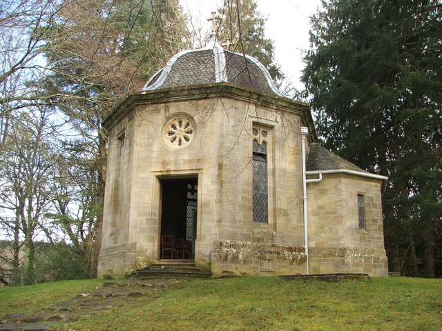 Site of R. C. ChapelChurch · 1.1 mi
 Cull IslandIsland · 3.4 mi
 Ballyteigue BurrowNature reserve · 4.2 mi
 Carrig-On-BannowVisitor information · 4.6 mi
 1798 MemorialMemorial · 4.6 mi
 Cullenstown StrandBeach / strand · 4.8 mi
 Coolcliffe HouseRuins · 5.4 mi