What is recorded here
Sand Island Portal Tomb hides beneath a shifting dune on Maghera Strand, exposing its broken stones only when the tide retreats. Men dug through the sand in 1976 to find a gabled backstone and leaning sides, but the sea reclaimed the chamber by 1984. The tomb still breathes under the island, waiting for the water to leave and the sand to slide away.
This monument is not shown on any edition of the OS 6-inch map. The site lies c. 5km W of Ardara on the N side of Sand Island, which is at the inner end of Loughros Beg Bay. Sand Island is an extensive sandhill c. 400m by 150m on Maghera Strand just N of Laconnell townland. It is accessible on foot when the tide is out. To the S the mountains extending westward from Glengesh Hill to Slievetooey form the skyline. The view westward out to sea is restricted by sandhills at the outer end of Maghera Strand. The island provides rough grazing on its sandy surface.
In 1976, when the plan published here was made, the structure was exposed in a pit dug in the sand. The pit measured 5.5m NW-SE by 4.5m NE-SW and was c. 1m deep. Around this was a bank of upcast sand (indicated by pecked lines on the plan) l-3.3m wide and 0.5m high.
Four large stones were visible in the pit. One at the NW (hatched on plan) leaned markedly to the SE against the end of an upright stone (also hatched) at right angles to its southern end. The gabled outline of the former suggested that it was likely to be a backstone. It was 1.6m long and 0.3m thick and if upright would have stood 1.7m high. The second orthostat, which leaned northward, was 1.4m high and seems to have been the sidestone of a chamber opening to the SE. Another stone, perhaps a displaced sidestone, lay prostrate 0.8m N of the last. Partly buried, it was 2.2m long and 0.4m thick. If upright, it would have stood at least 1m high. Between this and the outer end of the putative southern sidestone there was another stone, which leaned very considerably to the S and was probably displaced. It was 1.1m long and 0.35m thick and would have stood 1.3m high if upright. Two smaller stones (not on plan) lay prone in the pit. One, 0.8m by 0.5m by 0.15m thick, lay just E of the last described, and the other, 0.8m by 0.4m by 0.15m, lay just N of the backstone.
When the site was revisited in 1984 the pit had been filled and the ground levelled. Two large slabs lay prostrate on the surface. One measured 2.5m by 1.8m by 0.25m thick. Under its SW end the top of another stone could be detected just below the surface. The second prostrate slab lay 2.5m S of the other and measured 1.9m by 1.5m by 0.15m thick. Approximately 1m N of this the top of another buried stone was exposed.
The scant remains at this site in 1976 appeared to represent a single-chambered structure at least 1.8m long and c. 1.3m wide. The presence of two sizeable orthostats, one apparently a gabled backstone and the other an inward-leaning sidestone, suggested that the structure may be a ruined portal tomb (Ó Nualláin 1983a; 1983b), and it is tentatively classified as such.
L. McGill 1964, 63 (court cairn on Oíleán Mhacaire); P.J. McGill 1970, 6; Ó Nualláin 1983a, 35, no. 71; Ó Nualláin 1983b, 94, Donegal no. 17; SMR 1987, 73:36; Ó Nualláin 1989, 124; RMP 1995, 73:36.
The above description was published in the 'Survey of the Megalithic Tombs of Ireland. Volume VI, County Donegal.' Compiled by: Eamon Cody (Dublin: Stationery Office, 2002).
Date of upload: 22 September 2008
See linked document with details from Eamon Cody, Survey of the Megalithic Tombs of Ireland. Volume VI. County Donegal. (Dublin: Stationery Office, 2002)
Portal tomb; likely dates to the Neolithic period (c. 4000–2500 BCE). Its presence on a prominent sandhill suggests it may have had ritual or ceremonial significance in the local landscape.
The monument record does not grant public access. Check the route and ask the landowner before entering private land.
- What survives
- Recorded monument
Places near here
 O'Boyle's Fort at StonebrookNamed fort remains · 578 yd
 IllancreeveIslet · 701 yd
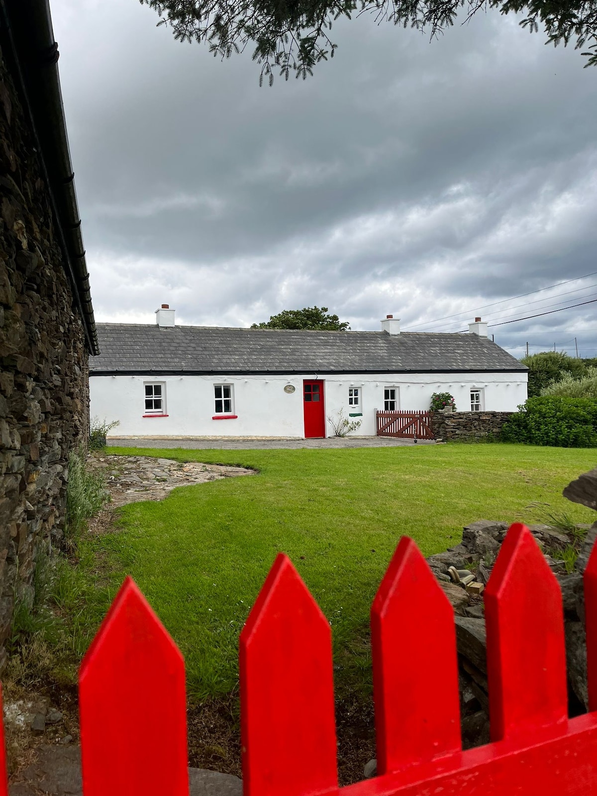 IndicatedHoly well · 1361 yd
 Maghera StrandBeach / strand · 1584 yd
 Assaranca Waterfallwaterfall · 1644 yd
 Maghera WaterfallWaterfall · 1726 yd
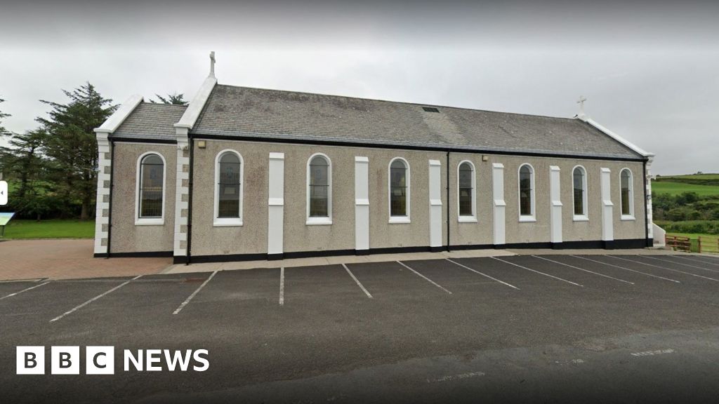 Church in KilcashelChurch · 1.3 mi
 outbuildingoutbuilding · 1.3 mi
 Maghera CavesSea caves · 1.5 mi
 Carrickalahagh HeadlandPublicly named cliff or headland · 2.2 mi
 Tramore StrandBeach / strand · 2.7 mi
 Glengesh PassViewpoint · 3.2 mi