What is recorded here
There are no surface remains to support the theory that there was a round tower located in Durrow which was proposed by Petrie in the 19th century (Barrow 1979, 176) .
The above description is derived from the published 'Archaeological Inventory of County Offaly' (Dublin: Stationery Office, 1997). In certain instances the entries have been revised and updated in the light of recent research.
Date of upload: 23 May 2011
The monument record does not grant public access. Check the route and ask the landowner before entering private land.
- What survives
- Recorded monument
Places near here
 BarrowBarrow, ring-barrow · 69 yd
 CrossCross, High cross · 233 yd
 St Columbas Ch (Disused)Church · 260 yd
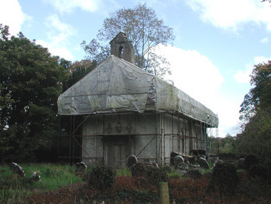 Durrow Abbeychurch/chapel · 260 yd
 Durrow MoatCastle, motte · 327 yd
 St. Columba's WellSpring · 482 yd
 High WoodWood · 1058 yd
 Shancourt or MeeneglishCastle, unclassified · 1.1 mi
 European ashEuropean ash · 1.3 mi
 Durrow HillMountain / peak · 1.4 mi
 Trumpet HillMountain / peak · 3.3 mi
 Grand Canal WayWalking route · 3.5 mi