What is recorded here
Slieve True still wears a round cairn on its skin, marking the kind of place where people set stones before written memory began. The hill belongs to County Antrim, yet it speaks an older language: a circle of rock, a school house in its name, and a warning that the land remembers more than its owners. What was taught there, or buried there, has gone quiet. The mountain keeps the answer, waiting for someone patient enough to sit with it.
The official Northern Ireland record identifies this as ROUND CAIRN: CARN SCHOOL HOUSE, SLIEVE TRUE, SCHOOL HOUSE CARN. Recorded period: PREHISTORIC. Recorded protection: Scheduled. The official map point was placed at the centre of the recorded archaeological site from the source map reference.
Round cairn, dating to the Bronze Age. It is a scheduled monument, indicating its archaeological importance, though specific details on its wider significance are not provided.
The monument record does not grant public access. Check the route and ask the landowner before entering private land.
- What survives
- Recorded monument
Places near here
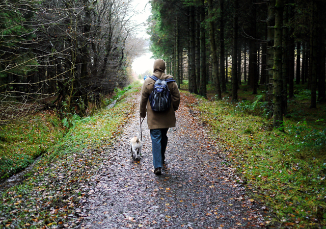 Woodburn ForestForest · 1.1 mi
 ENCLOSURE in CommonsENCLOSURE · 1.2 mi
 ENCLOSURE in CalhameENCLOSURE · 1.5 mi
 North Carn ForestForest · 1.9 mi
_-_geograph.org.uk_-_652849.jpg?width=1280) The County Antrim War MemorialMemorial · 1.9 mi
The County Antrim War MemorialMemorial · 1.9 mi O'Haughan's CaveCave · 1.9 mi
_church,_Jordanstown_(1)_-_geograph.org.uk_-_2578953.jpg?width=1280) Church of St PatrickChurch · 3.0 mi
Church of St PatrickChurch · 3.0 mi TOWER-HOUSE: CASTLE LUG or CLOGH-NA-LARTY in West DivisionTOWER-HOUSE: CASTLE LUG or CLOGH-NA-LARTY · 3.4 mi
 Carnmoney HillMountain / peak · 3.9 mi
 Millennium MilepostVisitor information · 4.0 mi
 Siege of Carrickfergussiege · 4.2 mi
 US RangersMemorial · 4.2 mi