What is recorded here
Mud and memory tangle where the river bends. The wall reappears only when cut back, as if the land is giving up what it swallowed. People may have marked herds or households along that line before the bog took it. The stones still point north in short guesses, waiting to be read.
In rough pasture, on cutaway bog, in a level area to the S of the Kerry River. Turf- cutting has exposed a curvilinear stretch of a collapsed, relict, stone field boundary (T 0.8-1.4m; H 0.5m) which extends in a general E-W direction for a distance of c. 130m. Similar short stretches of wall branch off the main wall in a general N direction at irregular intervals. Some of the stone from these walls appear to have been used to build the more recent field boundaries in the general area. A boulder-burial (CO090-016001-) is c. 50m to the E.
The above description is derived from 'The Archaeological Inventory of County Cork. Volume 5' (Dublin: Stationery Office, 2009).
Date of upload: 22 December 2009
The monument record does not grant public access. Check the route and ask the landowner before entering private land.
- What survives
- Recorded monument
Places near here
 Boulder-burial in RoughamBoulder-burial · 145 yd
 Enclosure in RoughamEnclosure · 550 yd
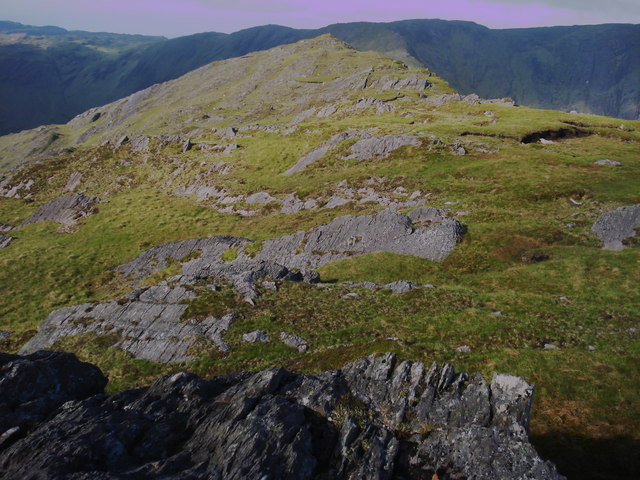 Killane Mountain South-West TopMountain / peak · 1235 yd
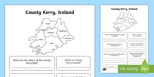 Caha Far SE TopMountain / peak · 1256 yd
 Old Stone CottagesHeritage attraction · 1.7 mi
 DroppaCliff · 2.5 mi
 Glengarriff WoodsWood · 2.6 mi
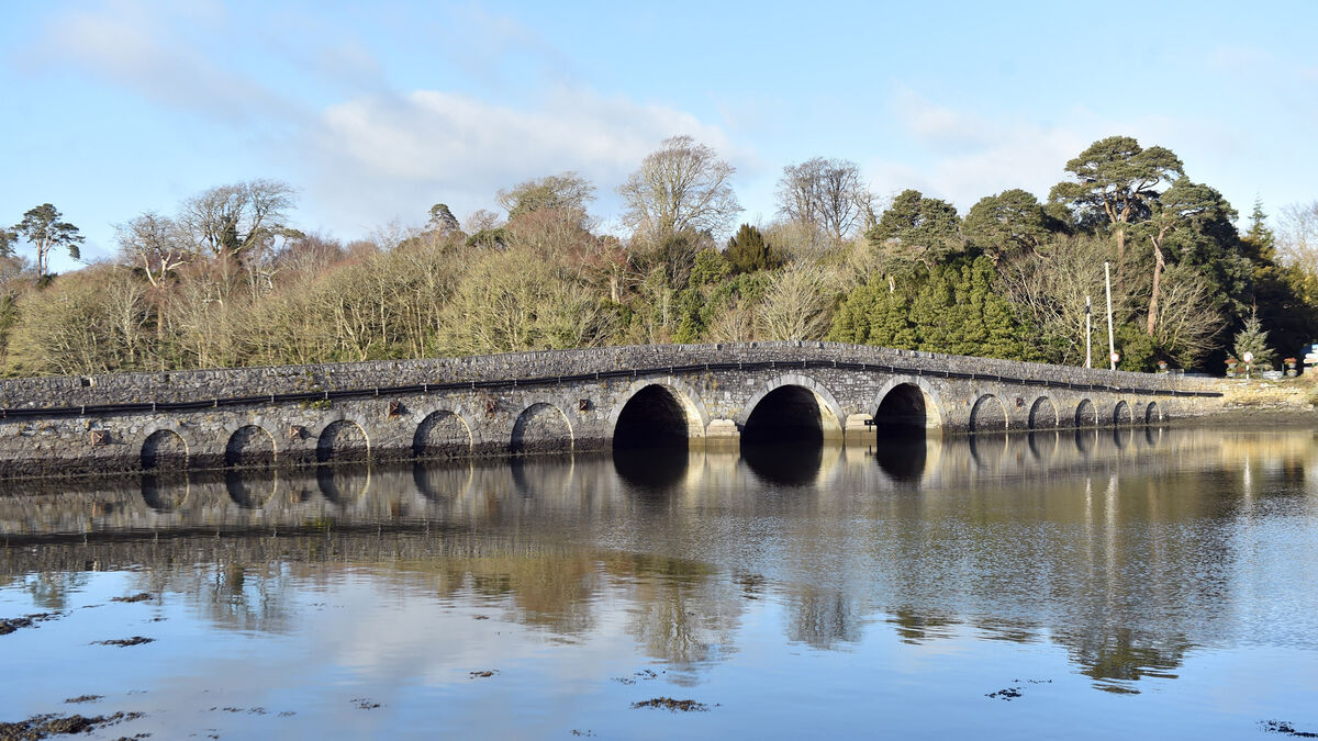 Bridge in Coorannel,derrynafullaBridge · 2.7 mi
 Gleninchaquin WaterfallWaterfall · 2.7 mi
 Gleninchaquin ParkHeritage attraction · 2.8 mi
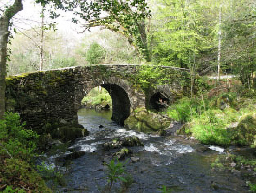 Glengarriff Nature Reservebridge · 3.0 mi
 Lady Bantry's LookoutViewpoint · 3.1 mi