
What is recorded here
In rough fern-covered grazing at the foot of a steep N-facing hillslope in the S side of the valley of the Kerry River. A circular area (diam. 7m) is enclosed by the moss-covered remains of a drystone wall (T 0.5m; H 0.4m) protruding above the surface of shallow bog. Rubble is scattered in the interior, which slopes down to the N.
The above description is derived from 'The Archaeological Inventory of County Cork. Volume 5' (Dublin: Stationery Office, 2009).
Date of upload: 22 December 2009
A local fairy fort (ringfort/rath); wider significance not recorded.
The monument record does not grant public access. Check the route and ask the landowner before entering private land.
- What survives
- Recorded monument
Places near here
 Boulder-burial in RoughamBoulder-burial · 566 yd
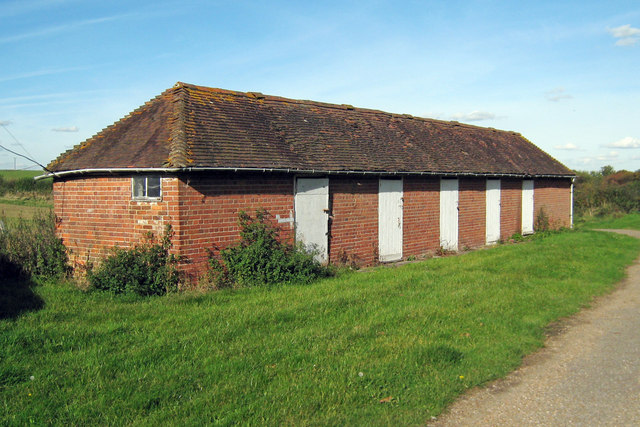 Hut site in Crossterry WestHut site · 935 yd
 Caha Far SE TopMountain / peak · 1738 yd
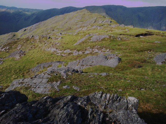 Killane Mountain South-West TopMountain / peak · 1750 yd
 Old Stone CottagesHeritage attraction · 1.5 mi
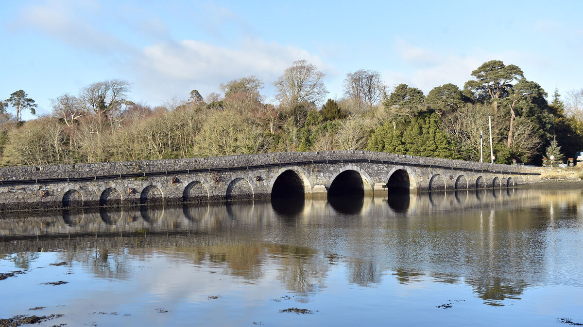 Bridge in Coorannel,derrynafullaBridge · 2.4 mi
 Glengarriff WoodsWood · 2.4 mi
 DroppaCliff · 2.7 mi
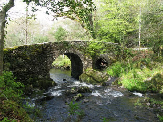 Glengarriff Nature Reservebridge · 2.7 mi
 Lady Bantry's LookoutViewpoint · 2.8 mi
 Gleninchaquin WaterfallWaterfall · 3.0 mi
 Gleninchaquin ParkHeritage attraction · 3.1 mi
Other information
Photo: Credit not shown in the picture search · Rights wording not checked; contact us if this picture should be removed