What is recorded here
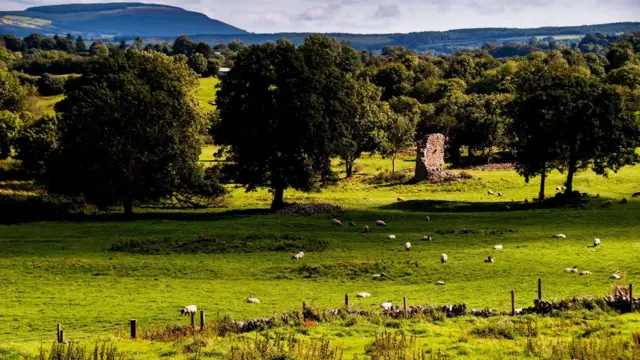
Grave Yard in County Cork holds Kilcorcoran parish church on its west edge and has buried local bodies since at least 1776. A long eastern passage cuts through a stone wall into a rectangular green space where dead and living still share the same air. The church may have fallen before the graveyard became the main marker, yet the stones and soil kept the place alive.
On E edge of early ecclesiastical enclosure (13891). Subrectangular area (c. 65m E-W; c. 35m N-S) enclosed by stone wall; long passage from road to E leads to entrance to E. In use and well maintained; earliest headstone noted dates to 1776. Site of Kilcorcoran parish church (14451) towards W end of graveyard.
The above description is derived from the published 'Archaeological Inventory of County Cork. Volume 4: North Cork' (Dublin: Stationery Office, 2000). In certain instances the entries have been revised and updated in the light of recent research.
Date of upload/revision: 14 January 2009
The monument record does not grant public access. Check the route and ask the landowner before entering private land.
- What survives
- Recorded monument
Places near here
 Kilcorcoran Church (Site of)Church · 19 yd
 Fulacht FiadhFulacht fia · 291 yd
 IndicatedHouse, vernacular house · 762 yd
 Site of Old Lismire SchoolRuins · 1610 yd
 Stanner's Glen, Priory WoodWood · 1.1 mi
 Carrig Castle (Site of)Castle, unclassified · 2.0 mi
 Hanna SheehyMemorial · 2.8 mi
 Castle McAuliffe (Site of)Castle, unclassified · 3.5 mi
 Kanturk CastleHeritage attraction · 3.8 mi
 Burial ground in AssolasBurial ground · 4.9 mi
 European YewEuropean Yew · 5.1 mi
 St Fursey's WellSpring · 6.1 mi
Other information
Photo: Credit not shown in the picture search · Rights wording not checked; contact us if this picture should be removed