What is recorded here
In pasture, located on top of a small ridge giving good views over Killala Bay, and to N over the mouth of the Palmerstown River.
Not shown on any edition of the OS 6-inch maps. A low, relatively flat-topped oblong mound (16m WNW; 6.5m NNE–SSW; H 0.3m at NNE, 0.65m at SSW), with a somewhat rounded E end and a more linear or squared-off W end. A boulder protrudes from the top of the mound to E of centre. The function of this mound is uncertain. It is grass-covered.
There is a mound barrow (MA015-085----) c. 100m to SSW, a ringbarrow (MA015-035----) c. 150m to SW, a rath (MA015-034----) c. 50m to NNE, and another mound (MA015-087----) c. 170m to N.
Compiled by: Jane O’Shaughnessy
Date of upload: 13 December 2018
A Neolithic long mound or passage tomb; likely dates to the Early to Middle Bronze Age. Its location suggests a strategic or ceremonial significance, possibly linked to maritime trade or ritual practices in the region.
The monument record does not grant public access. Check the route and ask the landowner before entering private land.
- What survives
- Recorded monument
Places near here
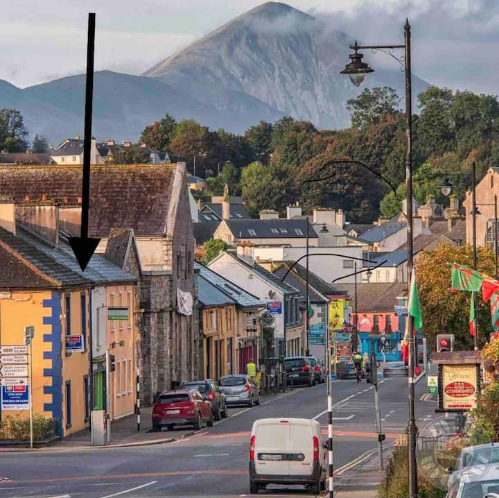 IndicatedFairy fort / earthen ringfort · 451 yd
 RathmoreFairy fort / earthen ringfort · 1235 yd
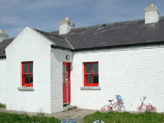 Ross Coastguard Stationcoastguard station · 1413 yd
 Rinnaun PointHeadland · 1570 yd
 Rathfran Abbey in ruinsReligious house, Dominican friars · 1.0 mi
 Green IslandIslet · 1.3 mi
 CastlenageehaCastle, unclassified · 1.5 mi
 Battle of Killalabattle · 1.6 mi
 CastleCastle, unclassified · 1.6 mi
 TrabaunBeach / strand · 1.7 mi
 Battlefields of MoyneBattlefield · 2.4 mi
 Bartragh IslandIsland · 2.6 mi