What is recorded here
In pasture, located in an area of undulating grassland, bordered to N–NE by an expanse of grass-covered sand dunes, and overlooking the mouth of the Palmerstown River at NW.
Raised subcircular area (21m N–S; 21m E–W) defined by a scarp. The scarp at SW–N is well-defined, with a broad external slope (Wth slope 4.7m; ext. H 1.6m at N) which retains a low internal lip (W2-2.4m; int. H 0.3m) at NW–W. At NNE–NE the scarp (H 0.6m) is faced on its outer edge by kerb-like arrangement of upright slabs or boulders, although it is not clear if this is a primary feature. At E–SE the scarp is lower and poorly defined.
A linear scarp (H 0.5m) on a NNW–SSE axis extends through the interior to E of centre, marking a change in level marked between a raised area to W and a lower area in the E third of the interior. A section (L 4m) of this bisecting scarp at its S end is faced with large stones. Outside the rath at NW there is a semi-circular depression (9m NE–SW; c. 4.5m NW–SE; D 0.45m) which appears to be the result of relatively recent disturbance.
Compiled by: Jane O’Shaughnessy
Date of upload: 6 December 2018
The monument record does not grant public access. Check the route and ask the landowner before entering private land.
- What survives
- Recorded monument
Places near here
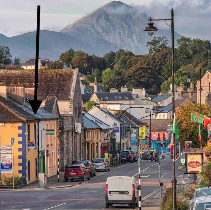 IndicatedFairy fort / earthen ringfort · 543 yd
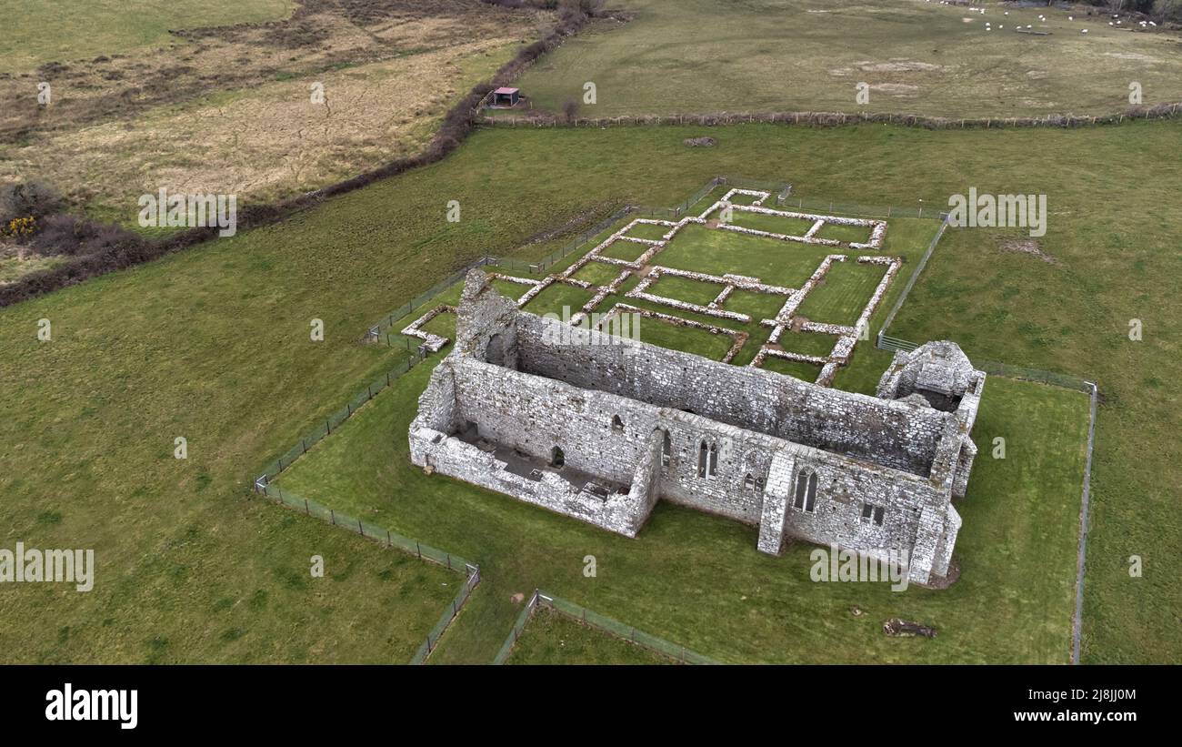 Enclosure in RathfranEnclosure · 1293 yd
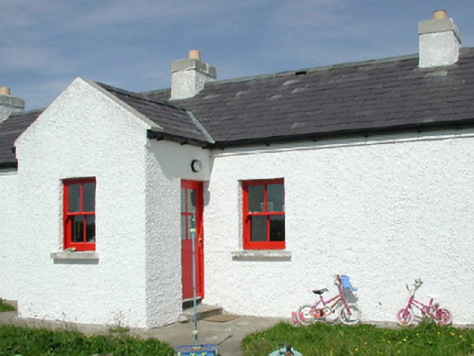 Ross Coastguard Stationcoastguard station · 1403 yd
 Rinnaun PointHeadland · 1633 yd
 Rathfran Abbey in ruinsReligious house, Dominican friars · 1.0 mi
 Green IslandIslet · 1.4 mi
 CastlenageehaCastle, unclassified · 1.4 mi
 Battle of Killalabattle · 1.6 mi
 CastleCastle, unclassified · 1.7 mi
 TrabaunBeach / strand · 1.7 mi
 Battlefields of MoyneBattlefield · 2.4 mi
 Bartragh IslandIsland · 2.6 mi