What is recorded here
Moat is a barrow (mound barrow) in Rosegreen, County Tipperary, Ireland. The small oval mound measures 9.1 metres north to south and 12.7 metres east to west, with gradually sloping sides 3.0 metres wide and 1.3 to 1.4 metres high. A generally level area 4 metres north to south and 2.2 metres east to west sits at the top. Off centre to the north is a small mound 1.8 metres north to south, 2 metres east to west and 0.5 metres high, made of earth and stone.
In generally level pasture with surface undulations due to limestone outcropping. Small oval mound (dims. 9.1m N-S; 12.7m E-W) defined by gradually sloping sides (Wth 3.0m; H 1.3m-1.4m) rising to a generally level area (dims. 4m N-S; 2.2m E-W). Off centre to N is a small mound (dims. 1.8m N-S; 2m E-W; H 0.5m) of earth and stone. Badly eroded by cattle. Named 'The Moat' on latest edition OS 6-inch map. According to Cahill (1982), unlikely to be medieval due to small scale and more synonymous with a prehistoric burial mound. Ringfort/rath (TS069-010----) is 350m to NNE.
Compiled by: Jean Farrelly
Date of upload: 26 August 2011
The monument record does not grant public access. Check the route and ask the landowner before entering private land.
- What survives
- Recorded monument
Places near here
 Church (in ruins)Church · 70 yd
 Enclosure in Garryandrew NorthEnclosure · 447 yd
 Castle (Site of)Castle, unclassified · 819 yd
 Enclosure in RosegreenEnclosure · 934 yd
 CastleCastle, ringwork and bailey · 1204 yd
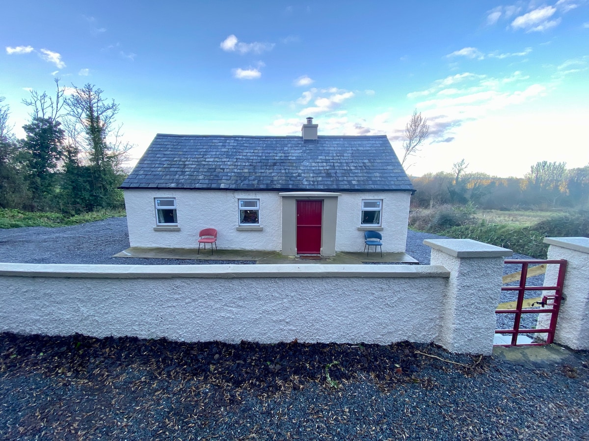
 Commons Cottagehouse · 1.3 mi
 Cashel Folk MusuemMuseum · 4.0 mi
 Black mulberryBlack mulberry · 4.0 mi
 The Rock Of CashelVisitor information · 4.1 mi
 Cormac's ChapelHeritage attraction · 4.2 mi
 Ballyknock HillMountain / peak · 4.6 mi
 Pedunculate OakPedunculate Oak · 5.6 mi