
What is recorded here
Enclosure in Roosca (Burke) is an enclosure in Roosca (Burke), County Tipperary, Ireland. The 1840 and 1906 maps depict a circular raised area measuring about 27 metres north to south and 32 metres east to west. The 2014 source records no visible trace above ground on the pasture-covered summit of an outcrop spur, with a sharp drop from southeast through south to southwest.
On the flat summit of a spur of outcrop, under pasture. There is a sharp drop from SE-S-SW and gentle drop to NW. Road runs roughly E-W along the NE quadrant. Roosca 'castle' (TS081-041----) is visible c. 150m to the SE. Depicted as a circular enclosure on the 1st (1840) ed. OS 6-inch map and similarly depicted as a circular raised area on the 2nd (1906) ed. (diam. c. 27m N-S; c. 32m E-W). There is no visble trace of the monument above ground.
Compiled by: Jean Farrelly
Date of upload: 08 January 2014
The monument record does not grant public access. Check the route and ask the landowner before entering private land.
- What survives
- Recorded monument
Places near here
 Roosca CastleCastle · 183 yd
 Thonoge Househouse · 422 yd
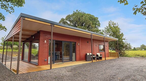 Enclosure in KillinureEnclosure · 1114 yd
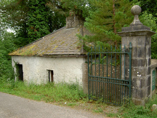 Ballybrada Housedemesne walls/gates/railings · 1363 yd
 Enclosure in BallybradaEnclosure · 1718 yd
 Ballydrinan CastleCastle, tower house · 1.0 mi
 Pedunculate OakPedunculate Oak · 1.3 mi
 Woodcock HillMountain / peak · 1.4 mi
 Cottagehill WoodForest · 1.8 mi
 Cahir CastleHeritage attraction · 3.1 miSiege of Cahir Castlesiege · 3.3 mi
 Caher AbbeyHeritage attraction · 3.5 mi
Other information
Photo: Credit not shown in the picture search · Rights wording not checked; contact us if this picture should be removed