What is recorded here
Rogerstown Burial is a stone-lined grave field north of the estuary, dating to 618-675 AD. People laid their dead north-south, perhaps facing the water or following an older local custom. The East-West Interconnector project exposed the site during test excavation, revealing that this busy modern corridor once belonged to the quiet dead.
This site was identified as part of test excavation associated with the East–West Interconnector Project (HVC E-WIP) (Licence no. 11E0235). Located N of Rogerstown estuary the burials extend for 15m E-W x 20m N-S within the construction corridor and extend beyond towards the estuary. A N-S alignment was determined in two cases. A number of burials were in stone-lined graves. A radiocarbon determination for one of the burials returned a date of 618-675 AD (Mullins 2011).
Compiled by: Christine Baker
Date of upload: 5 February 2015
A Neolithic burial site, likely dating to the 4th–3rd millennium BCE, associated with early funerary practices in the region. Its discovery contributes to understanding prehistoric settlement patterns in eastern Ireland.
The monument record does not grant public access. Check the route and ask the landowner before entering private land.
- What survives
- Recorded monument
Places near here
 Enclosure in RogerstownEnclosure · 77 yd
 RoadRoad, road/trackway · 121 yd
 Ring-ditch in RogerstownRing-ditch · 132 yd
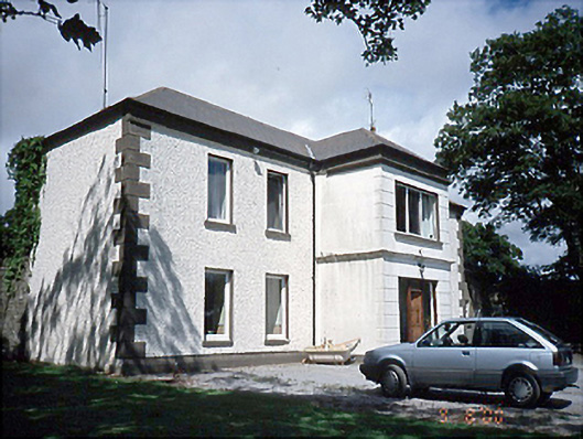 Rogerstown Housefarm house · 554 yd
 Rush South BeachBeach / strand · 1.2 mi
 JB Autobody Ltd.Visitor information · 1.3 mi
 The MillbankVisitor information · 1.4 mi
 CastleCastle, tower house · 1.4 mi
 The Farmhouse 1722Memorial · 1.5 mi
 The PaddocksMemorial · 1.5 mi
 Reilly's HillWood · 1.7 mi
 TowerCastle, tower house · 2.0 mi