
What is recorded here
Aerial photograph (GB90. BY.06) shows cropmark of a complex enclosure defined by two fosses both with corresponding entrances facing south-east to the sea; the monument is integrated within a contemporary landscape comprising a trackway and an extensive rectilinear field system.
Compiled by: Geraldine Stout
Date of upload: 26 August 2011
The monument record does not grant public access. Check the route and ask the landowner before entering private land.
- What survives
- Recorded monument
Places near here
 RoadRoad, road/trackway · 46 yd
 Ring-ditch in RogerstownRing-ditch · 160 yd
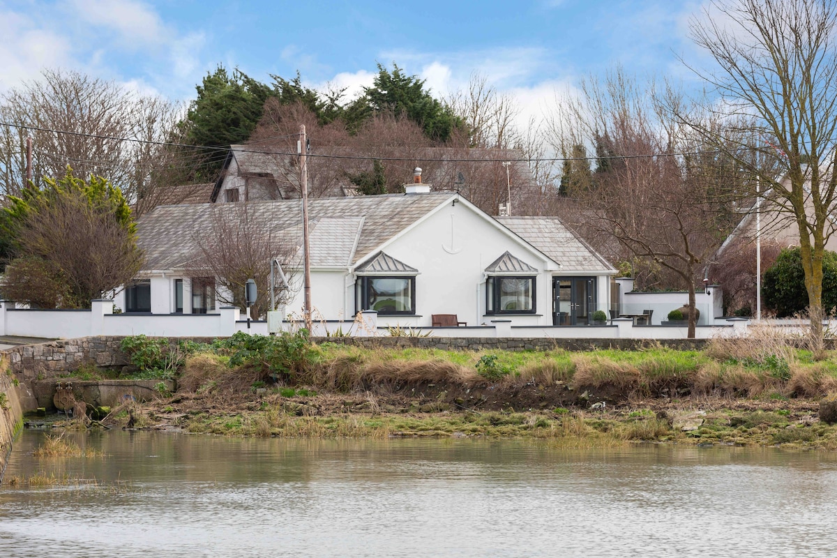 Fulacht fia in RogerstownFulacht fia · 195 yd
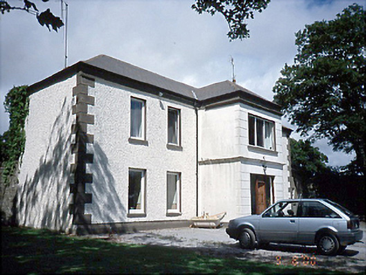 Rogerstown Housefarm house · 506 yd
 Rush South BeachBeach / strand · 1.2 mi
 JB Autobody Ltd.Visitor information · 1.4 mi
 The MillbankVisitor information · 1.4 mi
 CastleCastle, tower house · 1.5 mi
 Orlynn ParkMemorial · 1.5 mi
 Chapel FarmMemorial · 1.5 mi
 Reilly's HillWood · 1.7 mi
 TowerCastle, tower house · 2.0 mi
Other information
Photo: Credit not shown in the picture search · Rights wording not checked; contact us if this picture should be removed