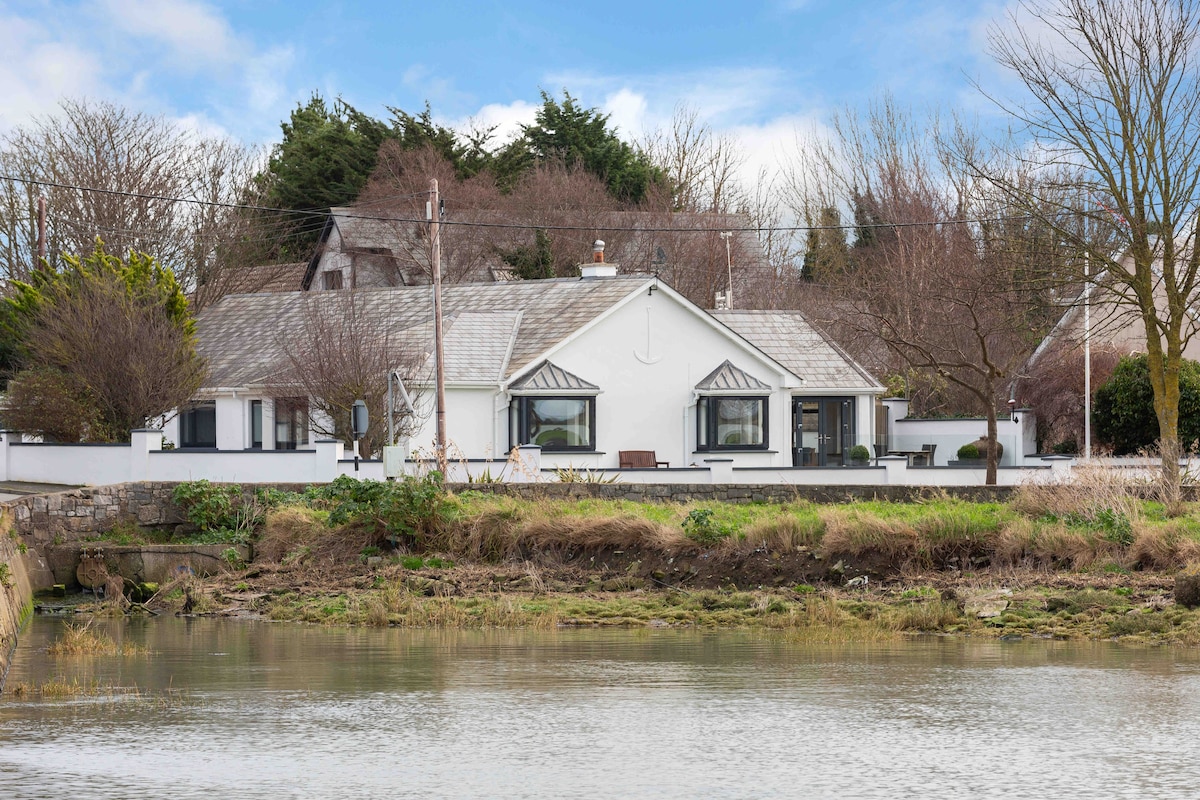
What is recorded here
This site was excavated as part of monitoring associated with the Rush and Lusk Waste Water Treatment Scheme (Licence no. 10E0121). Located on a ridge of high ground overlooking Rogerstown estuary, an oval trough (1.6m x 1.15m) and associated stake-hole contained charcoal rich fill and heat shattered stone (McQuade 2011, 27).
Compiled by: Christine Baker
Date of upload: 5 February 2015
The monument record does not grant public access. Check the route and ask the landowner before entering private land.
- What survives
- Recorded monument
Places near here
 RoadRoad, road/trackway · 163 yd
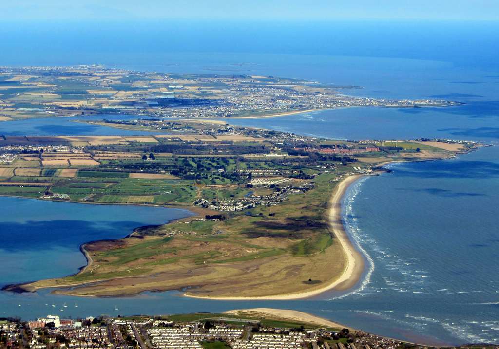 Field system in RogerstownField system · 172 yd
 Enclosure in RogerstownEnclosure · 195 yd
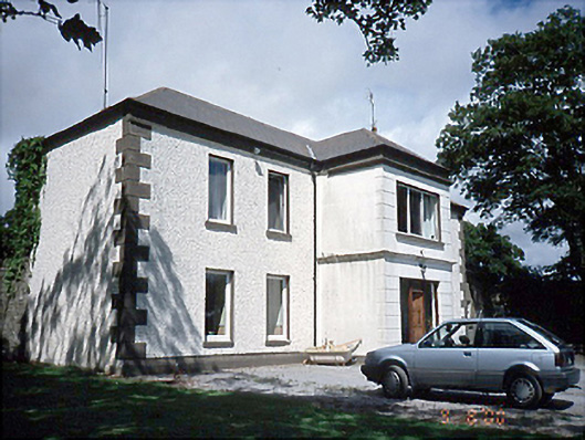 Rogerstown Housefarm house · 368 yd
 Rush South BeachBeach / strand · 1.3 mi
 Orlynn ParkMemorial · 1.4 mi
 Chapel FarmMemorial · 1.4 mi
 JB Autobody Ltd.Visitor information · 1.5 mi
 The MillbankVisitor information · 1.5 mi
 CastleCastle, tower house · 1.6 mi
 Reilly's HillWood · 1.8 mi
 Turvey Allotments and Nature ReserveNature reserve · 2.0 mi
Other information
Photo: Credit not shown in the picture search · Rights wording not checked; contact us if this picture should be removed