What is recorded here
Fairy fort / earthen ringfort in Rockingham Demesne (boyle By., Rockingham.ed) is a fairy fort or earthen ringfort in Rockingham Demesne (boyle By., Rockingham.ed), County Roscommon, Ireland. It occupies a circular area thirty-three metres north-south and twenty-nine and a half metres east-west on a gentle northwest-facing slope in mixed woodland. An earthen bank reaches one metre in height beside an outer fosse four and a half metres wide across its top. Two other raths lie two hundred and two hundred and thirty metres to the northeast and east.
In mixed woodland on a gentle NW-facing slope. Described as a circular area (diam. 33m N-S; 29.5m E-W) defined by an earthen bank (max. ext. H 1m) and outer fosse (Wth of top 4.5m) (Enright 1991, 2). Subcircular area (dims 26.8m E-W; 23m N-S) defined by an earthen bank (Wth 3.5-5m; int. H 0.3-0.4m; ext. H 0.4-0.7m) with traces of internal facing stones NE-SSW and a scarp (H 1-1.2m) elsewhere, with a fosse (Wth of top 3m; D 0.2m) ENE-ESE. There is no visible entrance. Raths (RO006-041001-; RO006-044----) are c. 200m and 230m to the NE and E respectively.
Compiled by: Michael Moore
Date of upload: 24 August 2010
The monument record does not grant public access. Check the route and ask the landowner before entering private land.
- What survives
- Recorded monument
Places near here
 Rockingham DemesneRuins · 154 yd
 Embanked enclosureFairy fort / earthen ringfort · 290 yd
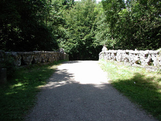 Rockingham Housefoot bridge · 390 yd
 Lough Key Forest ParkWood · 431 yd
 Western RedcedarWestern Redcedar · 550 yd
 Horse-chestnutHorse-chestnut · 712 yd
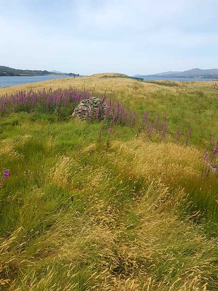 Drummans IslandIsland · 871 yd
 Erris BayBay · 943 yd
 Trinity IslandIslet · 1000 yd
 Enclosure in Rockingham Demesne (boyle By., Rockingham.ed)Enclosure · 1266 yd
 Longford HillMountain / peak · 1539 yd
 Boyle AbbeyHeritage attraction · 2.2 mi