
What is recorded here
Rockfield Standing Stone rises more than two metres above rolling pasture in County Donegal, a blunt vertical witness on a slight rise where grass still moves around its base. It has watched herds, storms and forgotten feet for centuries, unchanged while the land reordered itself around it. People may have gathered there to mark boundary, celebrate season or simply stare upward until the sky felt closer. The stone does not explain itself; it waits patient and tall, holding the shape of time in one unbroken line.
A standing stone over 2m high. Situated on a slight rise in rolling pasture land.
The above description was derived from the 'Archaeological Survey of County Donegal. A description of the field antiquities of the County from the Mesolithic Period to the 17th century.' Compiled by: Brian Lacey with Eamon Cody, Claire Cotter, Judy Cuppage, Noel Dunne, Vincent Hurley, Celie O'Rahilly, Paul Walsh and Seán Ó Nualláin (Lifford: Donegal County Council, 1983). In certain instances the entries have been revised and updated.
Date of upload: 22 September 2008
Likely dating to the Bronze Age, the Rockfield Standing Stone may have functioned as a territorial marker, ceremonial focus, or astronomical alignment point. Its placement on a slight rise suggests a strategic or symbolic role in the landscape, though specific folklore or use remains unrecorded.
The monument record does not grant public access. Check the route and ask the landowner before entering private land.
- What survives
- Recorded monument
Places near here
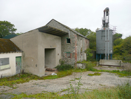 mill (water)mill (water) · 612 yd
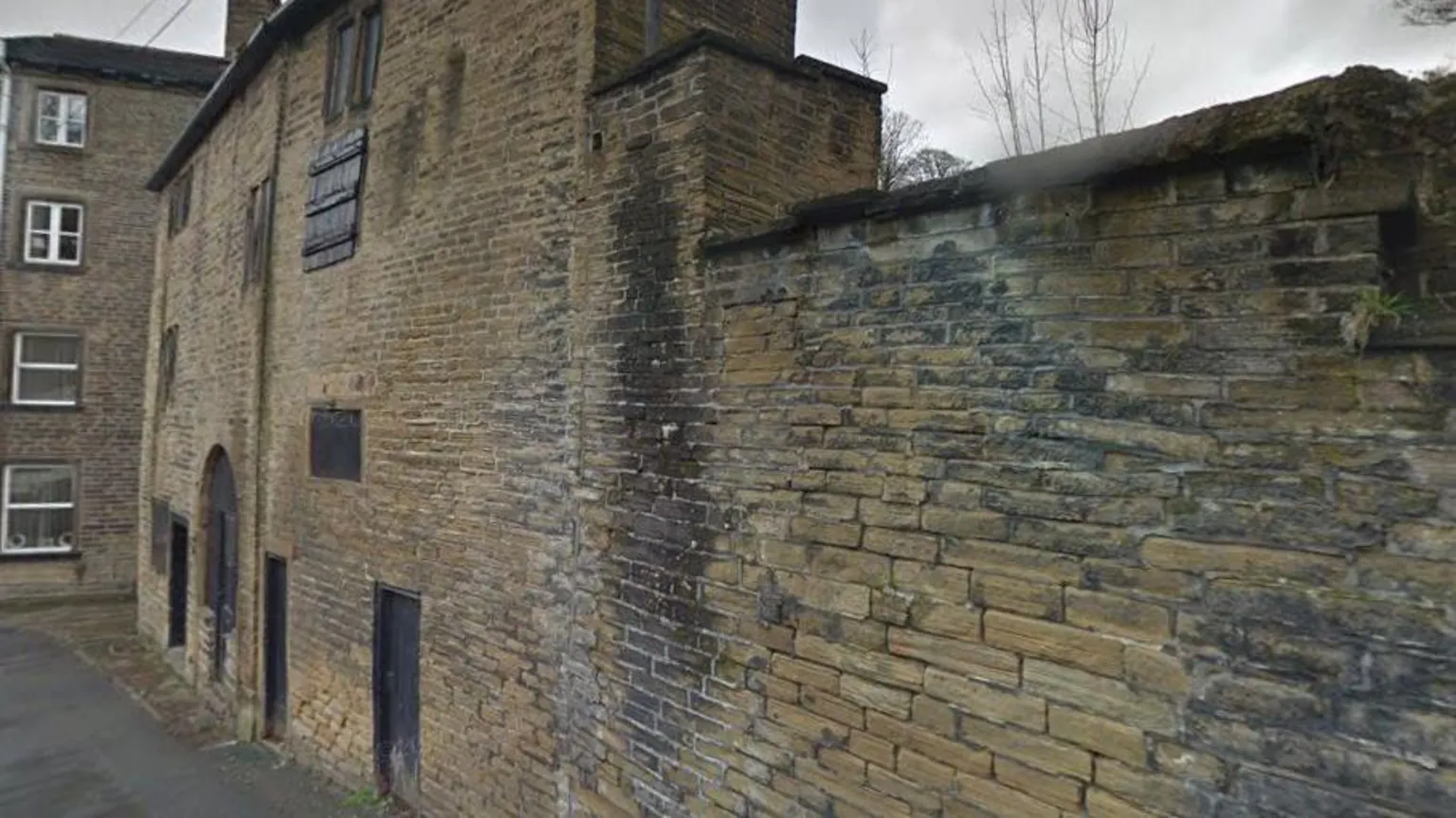 Former Clashygowan EnclosureEnclosure · 652 yd
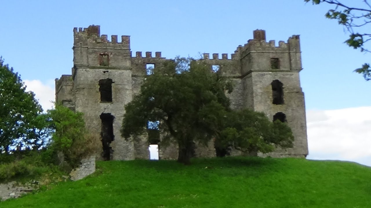 Clashygowan EnclosureEnclosure · 810 yd
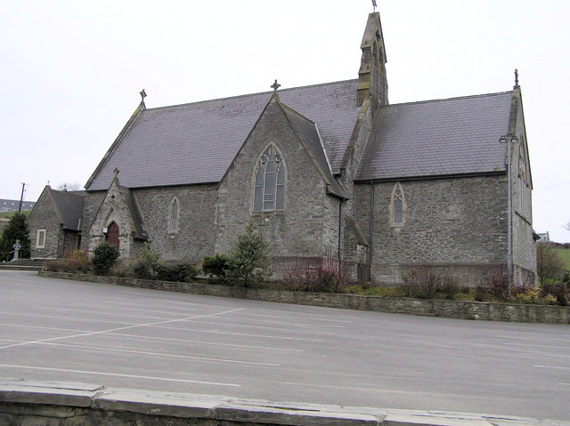 St. Baithin’s Catholic Churchchurch/chapel · 1051 yd
 Mongavlin CastleHouse, fortified house · 2.2 mi
 Gortmonly HillMountain / peak · 4.0 mi
 Feddyglass WoodWood · 4.2 mi
 BATTLE SITE: BATTLE OF THE FORDS, Northern crossing, 1689 in Ballydonaghy; Greenlaw; LeckpatrickBATTLE SITE: BATTLE OF THE FORDS, Northern crossing, 1689 · 4.3 mi
 CastleCastle, unclassified · 4.8 mi
 Emmery Celtic CrossWood · 4.9 mi
 Mongorry HillMountain / peak · 6.3 mi
 Grianán of AileachFairy fort / stone ringfort · 6.6 mi
Other information
Photo: Kenneth Allen · CC BY-SA 2.0