What is recorded here
On the N side of a road, embedded into an earth and stone field boundary. The SW face of a rectangular stone (H 0.6m; Wth 0.72m; T 0.26m) has numerous faint narrow horizontal grooves (L 0.05-0.2m), c. 0.01m apart, across it. There are also three grooves (L 0.07-0.09m), 0.01m apart, on the upper surface of the stone.
The above description is derived from 'The Archaeological Inventory of County Cork. Volume 5' (Dublin: Stationery Office, 2009).
Date of upload: 22 December 2009
The monument record does not grant public access. Check the route and ask the landowner before entering private land.
- What survives
- Recorded monument
Places near here
 Iniscarra Dam ViewViewpoint · 476 yd
 Castle Inch (in Ruins)Castle, tower house · 902 yd
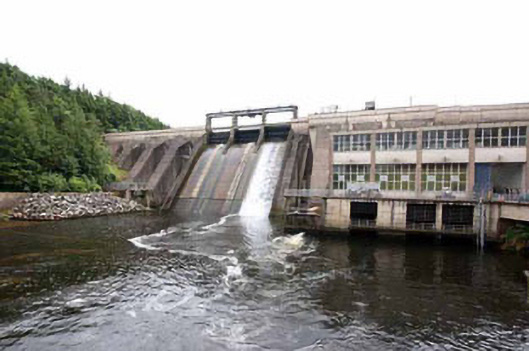 Inniscarra Hydro Electric Power Stationdam/reservoir/basin · 1217 yd
 Marys Well, Sundays WellHoly well · 1233 yd
 Srelane Househouse · 1236 yd
 Bob AdamsMemorial · 1.1 mi
 Graveyard in Carrigane (muskerry East By.)Graveyard · 1.4 mi
 Fulacht fia in ClashanureFulacht fia · 1.4 mi
 Ballyanly Inniscarra Slí na SláinteWalking route · 2.4 mi
 Grange HillMountain / peak · 2.4 mi
 Kilcrea Castle (in Ruins)Castle, tower house · 2.7 mi
 Kilcrea CastleWood · 2.7 mi