What is recorded here
Located on a SE spur of Macklaun mountain, on the N side of the Meelagh river, this section of rock outcrop features a pocked penannular ring with a natural solution pit at one terminal. A scattering of faint pockmarks occurs adjacent to the ring.
The above description is derived from A. O'Sullivan and J. Sheehan (compilers), 'The Iveragh peninsula: an archaeological survey of South Kerry'. Cork University Press (1996), no. 357. In certain instances the entries have been revised and updated in the light of recent research.
Date of upload: 28 July 2013
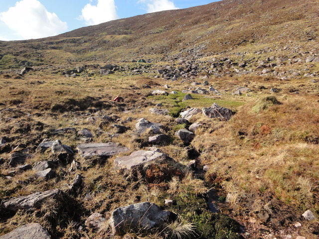
In rough mountain pasture (246m), with abundant boulders and rock outcrop, on a general E-facing slope, on the SE spur of Macklaun mountain; Good views all around particularly to NE overlooking the valley of the Owbeg and Meelagh rivers, which join the River Caragh and flow into Caragh Lake; Also good views of MacGillycuddy Reeks to E. Not located. The SMR file indicates that this rock art is ‘approximately 500m SW and behind the farmhouse up a steep cliff and over the fence on the top of a ridge running NW-SE above the farmhouse.’ Field inspection confirms that this fence and ridge described are only c. 100m to SW of the farmhouse mentioned, at the GPS coordinate supplied. O’Sullivan & Sheehan (1996, 106) describe a ‘pocked penannular ring with a natural solution pit at one terminal’. This rock art motif was not seen despite an extensive search in this vicinity.
Compiled by: Alison McQueen and Vera Rahilly
Date of upload: 5 July 2017
Likely dating to the Bronze Age, the rock art at Neesha may have had ritual or symbolic significance, possibly linked to landscape features or territorial markers. The use of natural formations, such as the solution pit, suggests an integration of sacred or symbolic geography into the design.
The monument record does not grant public access. Check the route and ask the landowner before entering private land.
- What survives
- Recorded monument
Places near here
 DreenaghMountain / peak · 1.4 mi
 Colly EastMountain / peak · 1.4 mi
 William Scotts WellHoly well · 1.4 mi
 Enclosure in Creeveen (iveragh By.)Enclosure · 1.7 mi
 Blackstones Bridgebridge · 3.1 mi
 R.C. Chapel (in Ruins)Church · 4.0 mi
 Mountain StageViewpoint · 5.5 mi
 Rossbeigh BeachBeach / strand · 6.0 mi
 FeaklecallyHeadland · 6.4 mi
 Kerry Bog VillageHeritage attraction · 6.6 mi
 Lough Nambrackdarrig Nature ReserveNature reserve · 6.9 mi
 Soft Tree-fernSoft Tree-fern · 7.5 mi