What is recorded here
Located c. 100m N of KE091-027---- on a slight platform, the flat upper surface of this lozenge-shaped boulder measures 1m x .54m x .3m high. The motifs consist of four cupmarks, a cup-and-ring, two short linear grooves and a lightly pocked curvilinear groove (information: A. Purcell).
The above description is derived from A. O'Sullivan and J. Sheehan (compilers), 'The Iveragh peninsula: an archaeological survey of South Kerry'. Cork University Press (1996), no. 295. In certain instances the entries have been revised and updated in the light of recent research.
Date of upload: 30 July 2013
In reclaimed and improved pasture (130m OD), on an E-facing slope, to N of a farm trackway; Large stream nearby to S and forestry plantation W->N. Overlooking Ardsheelhane river valley to E. Not located. According to O’Sullivan & Sheehan (1996, 91), ‘Located c. 100m N of [rock art] KE091-027---- on a slight platform, the flat upper surface of this lozenge-shaped boulder measures 1m x .54m x .3m high. The motifs consist of four cupmarks, a cup-and-ring, two short linear grooves and a lightly pocked curvilinear groove (information: A. Purcell).’ According to local information, this rock art stone may have been buried or cleared to margin of field during land improvements. No obvious rock art located upon searching along the field boundary.
Compiled by: Alison McQueen and Vera Rahilly
Date of upload: 6 July 2017
Likely dating to the Neolithic or Bronze Age, this rock art may have held ritual or symbolic significance, possibly linked to territorial markers, celestial observations, or ancestral beliefs. Cup-and-ring motifs are commonly associated with ceremonial or spiritual practices in prehistoric Europe.
The monument record does not grant public access. Check the route and ask the landowner before entering private land.
- What survives
- Recorded monument
Places near here
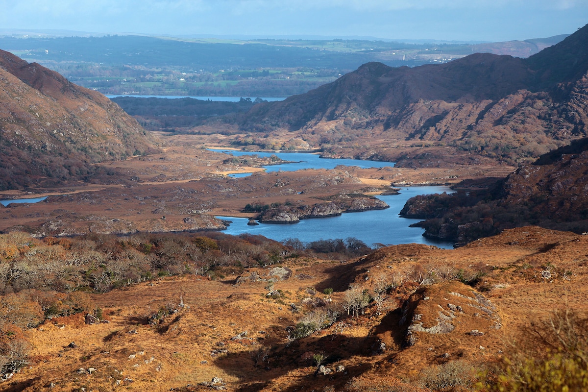 River HillMountain / peak · 860 yd
 Man-made underground passage in DerryleaghMan-made underground passage · 964 yd
 Hut site in Fermoyle (dunkerron South By.)Hut site · 1760 yd
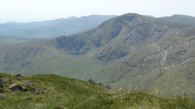 FinnararaghMountain / peak · 1.1 mi
 RoadRoad, road/trackway · 2.6 mi
 Church of the Transfiguration (Kilcrohane)church/chapel · 3.4 mi
 De Gaulle MemorialMonument · 3.5 mi
 Sneem Commemoration PlaqueMemorial · 3.5 mi
 Ballaghbeama GapViewpoint · 4.8 mi
 Rossmore IslandIsland · 5.5 mi
 GarinishIslet · 5.7 mi
 Coral BeachBeach / strand · 6.5 mi