What is recorded here
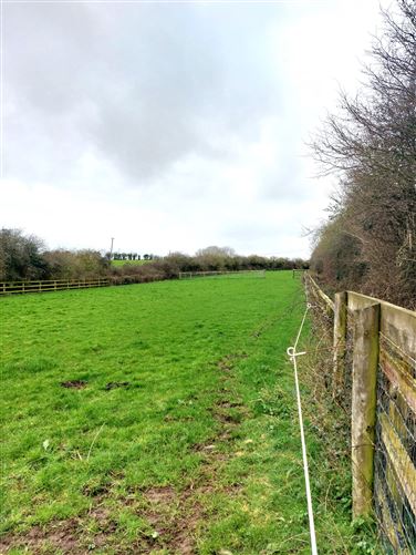
Unlocated road within townland, described by Carrigan as 'An ancient road formerly led form the church of Farren Eglish, through Cruell, by Mr. John Carroll's house in Dairy Hill, and thence to Dairy Hill church. Part of it, still preserved, near Mr. Carroll's, is called the Closh, and here was a "Mass-Pit" of former times' (Carrigan 1905, vol. 2, 68).
Compiled by: Caimin O'Brien
Date of upload: 17 December 2007
The monument record does not grant public access. Check the route and ask the landowner before entering private land.
- What survives
- Recorded monument
Places near here
 Enclosure in DairyhillEnclosure · 783 yd
 Church in ruinsChurch · 817 yd
 Ecclesiastical enclosure in DairyhillEcclesiastical enclosure · 1248 yd
 Kyle-cruttiaChurch · 1283 yd
 Ballygeehin Castle (in Ruins)Bawn · 1.0 mi
 Scotch RathHouse, fortified house · 1.3 mi
 European PearEuropean Pear · 1.8 mi
 Birchfield PlantationForest · 3.4 mi
 Anker's IslandIsland · 7.9 mi
 Cnoc SeanrathaMemorial · 8.8 mi
 Enclosure in Ballygeehin UpperEnclosure · 1537 yd
 Burial Gd. (Disused)Church · 1642 yd