What is recorded here
Two exposures of wood were 9m apart, in situ on the field surface, with a band of wood chips between the two. 8A: A badly milled roundwood (L 1.1m; diam. 0.01m), orientated NW-SE; 0.35m to the W were two pieces of brushwood (diam. 0.03m and 0.05m), orientated NE-SW. 8B: Three badly degraded longitudinal elements orientated NW-SE: one roundwood (diam. 0.075m) and two pieces of brushwood (diam. 0.04m and 0.055m). There was no visible evidence of woodworking. The evidence suggested that this was likely to be the remains of a togher. (Dunne 1999, 50, 99BG0008A-B)
Compiled by: Mary Tunney based on data supplied by Jane Whitaker, Archaeological Development Services.
Date of upload: 26 August 2011
The monument record does not grant public access. Check the route and ask the landowner before entering private land.
- What survives
- Recorded monument
Places near here
 StructureStructure, peatland · 59 yd
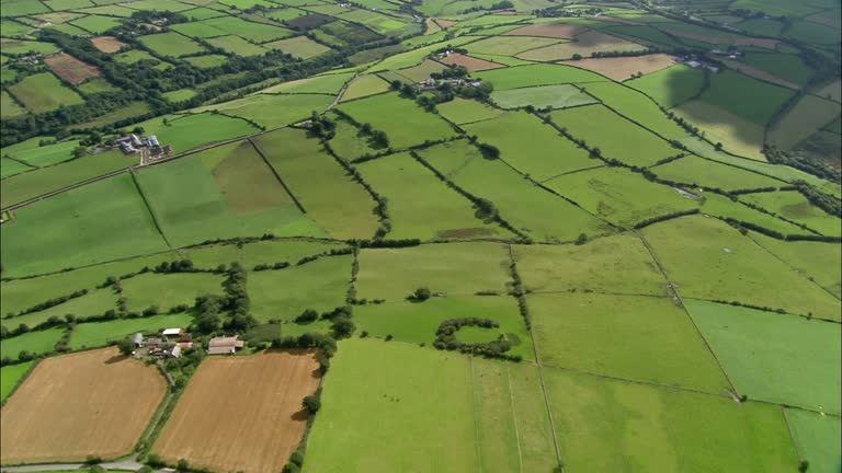 PlatformPlatform, peatland · 72 yd
 RoadRoad, class 1 togher · 502 yd
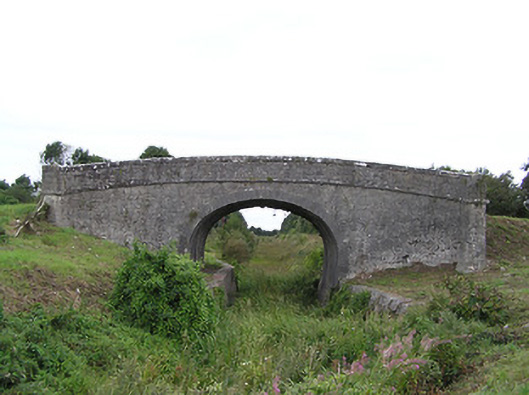 Begnagh Bridgebridge · 1171 yd
 CastleCastle, tower house · 1.6 mi
 Graveyard in Curry (ardagh By., Coolamber Ed)Graveyard · 2.8 mi
 First World War MemorialMemorial · 3.9 mi
 Bawn in AbbeycartronBawn · 3.9 mi
 Saint Mel's CathedralCathedral · 4.0 mi
 Commons North WalkVisitor information · 4.9 mi
 Wild birdsVisitor information · 5.1 mi
 White Sand WoodWood · 5.4 mi