What is recorded here
The site (Wth 0.82m; D 0.59m) consists of densely packed brushwood (diam. 0.01-0.04m) and roundwood (diam. 0.08-0.11m) in opposing drain faces, similarly orientated NNE-SSW, and set on a bedding of twigs. Birch and alder were the main species identified with some willow also present. The site is within the uppermost fen peat which consisted of well-humified mid-brown Sphagnum with Phragmites, which was inundated by raised bog which consisted of moderately humified Sphagnum. The site is located 5m S of SMR OF007-187---- and SMR OF007-188---- and 4.50 N of SMR OF007-185----.
Compiled by: Irish Archaeological Wetland Unit (University College Dublin).
Date of upload: 23 May 2011
The monument record does not grant public access. Check the route and ask the landowner before entering private land.
- What survives
- Recorded monument
Places near here
 StructureStructure, peatland · 5 yd
 RoadRoad, class 3 togher · 357 yd
 Enclosure in Cooldorragh (garrycastle By.)Enclosure · 1285 yd
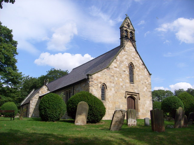 Church in Clonaltra WestChurch · 1712 yd
 Esker CastleCastle, tower house · 1.8 mi
 Bawn in Lackagh MoreBawn · 1.9 mi
 European ashEuropean ash · 3.0 mi
 Endrim HillMountain / peak · 4.2 mi
 The Bob Traynor GalleryGallery · 4.3 mi
 Charles BianconiMemorial · 4.4 mi
 Dún na SíMuseum · 4.4 mi
 Saint Reaghan's WellSpring · 5.2 mi